
Fil:Map of Nebraska highlighting Thurston County.svg

Storleken för denna PNG-förhandsvisning av denna SVG-fil: 800 × 368 pixlar. Andra upplösningar: 320 × 147 pixlar | 640 × 294 pixlar | 1 024 × 471 pixlar | 1 280 × 589 pixlar | 2 560 × 1 178 pixlar | 2 471 × 1 137 pixlar.
Originalfil (SVG-fil, standardstorlek: 2 471 × 1 137 pixlar, filstorlek: 26 kbyte)
Sammanfattning
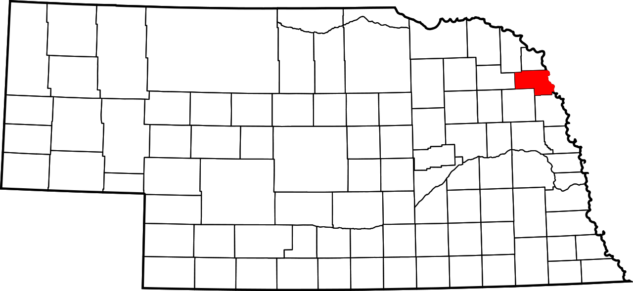
| Beskrivning | English: This is a locator map showing Thurston County in Nebraska. For more information, see Commons:United States county locator maps. |
| Datum | |
| Källa |
Eget arbete: English: The maps use data from nationalatlas.gov, specifically countyp020.tar.gz on the Raw Data Download page. The maps also use state outline data from statesp020.tar.gz. The Florida maps use hydrogm020.tar.gz to display Lake Okeechobee. |
| Skapare | David Benbennick |
Licensiering
| Jag, upphovsrättsinnehavaren till detta verk, släpper detta verk i public domain. Detta gäller globalt. I vissa länder kan detta inte vara juridiskt möjligt; i så fall: Jag ger härmed envar rätten att använda detta verk för alla ändamål, utan några villkor, förutom villkor som lagen ställer. |
Filhistorik
Klicka på ett datum/klockslag för att se filen som den såg ut då.
| Datum/Tid | Miniatyrbild | Dimensioner | Användare | Kommentar | |
|---|---|---|---|---|---|
| nuvarande | 25 juni 2024 kl. 03.09 | | 2 471 × 1 137 (26 kbyte) | Nux | fix rendering (remove clipping) |
| 12 februari 2006 kl. 16.00 |  | 7 414 × 3 411 (34 kbyte) | David Benbennick | {{subst:User:Dbenbenn/clm|county=Thurston County|state=Nebraska|type=county}} |
Filanvändning
Följande sida använder den här filen:
Global filanvändning
Följande andra wikier använder denna fil:
- Användande på ar.wikipedia.org
- Användande på bg.wikipedia.org
- Användande på bpy.wikipedia.org
- Användande på ca.wikipedia.org
- Användande på cdo.wikipedia.org
- Användande på ceb.wikipedia.org
- Användande på ce.wikipedia.org
- Användande på cy.wikipedia.org
- Användande på de.wikipedia.org
- Användande på el.wikipedia.org
- Användande på en.wikipedia.org
- List of counties in Nebraska
- Thurston County, Nebraska
- Macy, Nebraska
- Pender, Nebraska
- Rosalie, Nebraska
- Thurston, Nebraska
- Walthill, Nebraska
- Winnebago, Nebraska
- Emerson, Nebraska
- Template:Thurston County, Nebraska
- Anderson Township, Thurston County, Nebraska
- Blackbird Township, Thurston County, Nebraska
- Bryan Township, Thurston County, Nebraska
- Dawes Township, Thurston County, Nebraska
- Flournoy Township, Thurston County, Nebraska
- Merry Township, Thurston County, Nebraska
Visa mer globalt användande av denna fil.