
File:Wansford Bridge, near Driffield, E Yorks (geograph 2371056).jpg
No higher resolution available.
Wansford_Bridge,_near_Driffield,_E_Yorks_(geograph_2371056).jpg (640 × 459 pixels, file size: 199 KB, MIME type: image/jpeg)
Summary
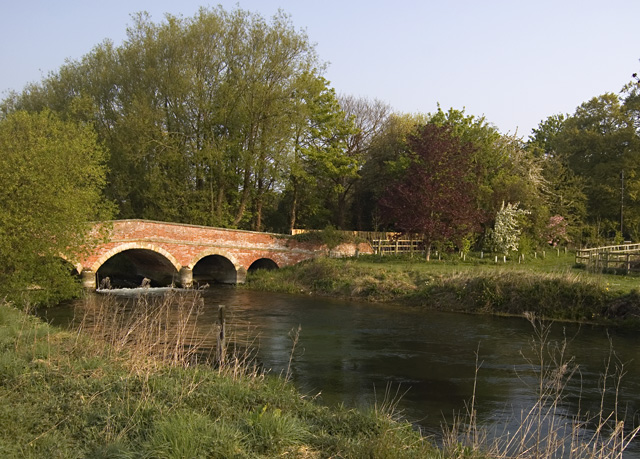
| Description | English: Wansford Bridge, near Driffield, East Riding of Yorkshire, England. Bridge over the River Hull (or West Beck) which carries the lane between Wansford and Skerne, seen from the footpath on the river's south bank. |
| Date | |
| Source | From geograph.org.uk |
| Author | Paul Harrop |
| Permission (Reusing this file) |
Creative Commons Attribution Share-alike license 2.0 |
| Attribution (required by the license) | Paul Harrop / Wansford Bridge, near Driffield, E Yorks / |
| Camera location | | View this and other nearby images on: OpenStreetMap |
|---|
.jpg¶ms=053.988982_N_-000.378684_E_globe:Earth_type:camera_heading:337.00_source:geograph&language=en)
| Object location | | View this and other nearby images on: OpenStreetMap |
|---|
.jpg¶ms=053.989205_N_-000.378840_E_globe:Earth_class:object_type:object_source:geograph-osgb36(TA0639056011)_region:GB-GBN_heading:337.00&language=en)
Licensing

|
This image was taken from the Geograph project collection. See this photograph's page on the Geograph website for the photographer's contact details. The copyright on this image is owned by Paul Harrop and is licensed for reuse under the Creative Commons Attribution-ShareAlike 2.0 license. |
This file is licensed under the Creative Commons Attribution-Share Alike 2.0 Generic license.
Attribution: Paul Harrop
- You are free:
- to share – to copy, distribute and transmit the work
- to remix – to adapt the work
- Under the following conditions:
- attribution – You must give appropriate credit, provide a link to the license, and indicate if changes were made. You may do so in any reasonable manner, but not in any way that suggests the licensor endorses you or your use.
- share alike – If you remix, transform, or build upon the material, you must distribute your contributions under the same or compatible license as the original.
File history
Click on a date/time to view the file as it appeared at that time.
| Date/Time | Thumbnail | Dimensions | User | Comment | |
|---|---|---|---|---|---|
| current | 15:57, 30 September 2017 | | 640 × 459 (199 KB) | Jokulhlaup | Transferred from geograph.co.uk using [https://tools.wmflabs.org/geograph2commons/ geograph2commons] |
File usage
The following page uses this file:
Global file usage
The following other wikis use this file:
- Usage on da.wikipedia.org
- Usage on www.wikidata.org
.jpg)