
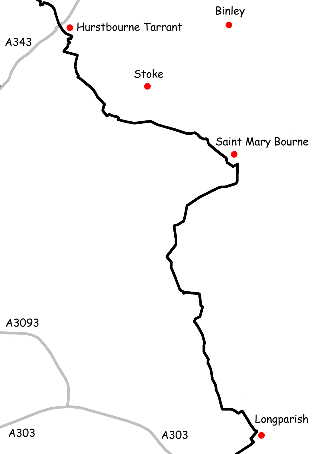
File:Test Way Map Section 2.png
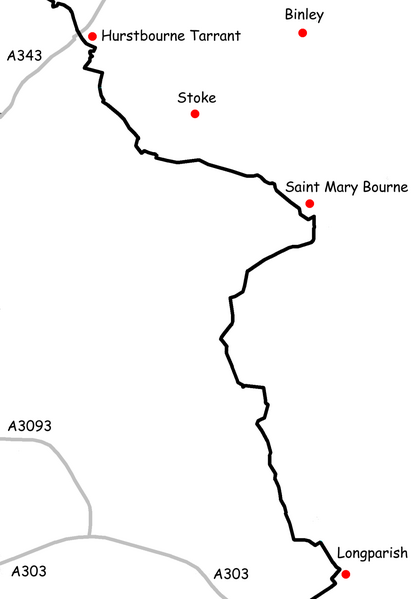
Size of this preview: 414 × 599 pixels. Other resolutions: 166 × 240 pixels | 331 × 480 pixels | 530 × 768 pixels | 1,036 × 1,500 pixels.
Original file (1,036 × 1,500 pixels, file size: 97 KB, MIME type: image/png)
Summary
Created by Nick Austin and released to public domain on 15th March 2007.
Derived from GPS data; roads mapped by GPS between years 2000 and 2002; Footpath mapped by GPS in 2004.
Uploaded for inclusion in article titled w:Test Way.
Licensing
| I, the copyright holder of this work, release this work into the public domain. This applies worldwide. In some countries this may not be legally possible; if so: I grant anyone the right to use this work for any purpose, without any conditions, unless such conditions are required by law. |
File history
Click on a date/time to view the file as it appeared at that time.
| Date/Time | Thumbnail | Dimensions | User | Comment | |
|---|---|---|---|---|---|
| current | 19:59, 15 March 2007 | | 1,036 × 1,500 (97 KB) | Nick1nildram | Created by Nick Austin and released to public domain on 15th March 2007. Derived from GPS data; roads mapped by GPS between years 2000 and 2002; Footpath mapped by GPS in 2004. Uploaded for inclusion in article titled Test Way. |
File usage
The following page uses this file: