
File:Ste Genevieve Batiscan 164.jpg
Size of this preview: 800 × 600 pixels. Other resolutions: 320 × 240 pixels | 640 × 480 pixels | 1,024 × 768 pixels | 1,280 × 960 pixels | 2,560 × 1,920 pixels | 4,032 × 3,024 pixels.
Original file (4,032 × 3,024 pixels, file size: 6.06 MB, MIME type: image/jpeg)
Summary
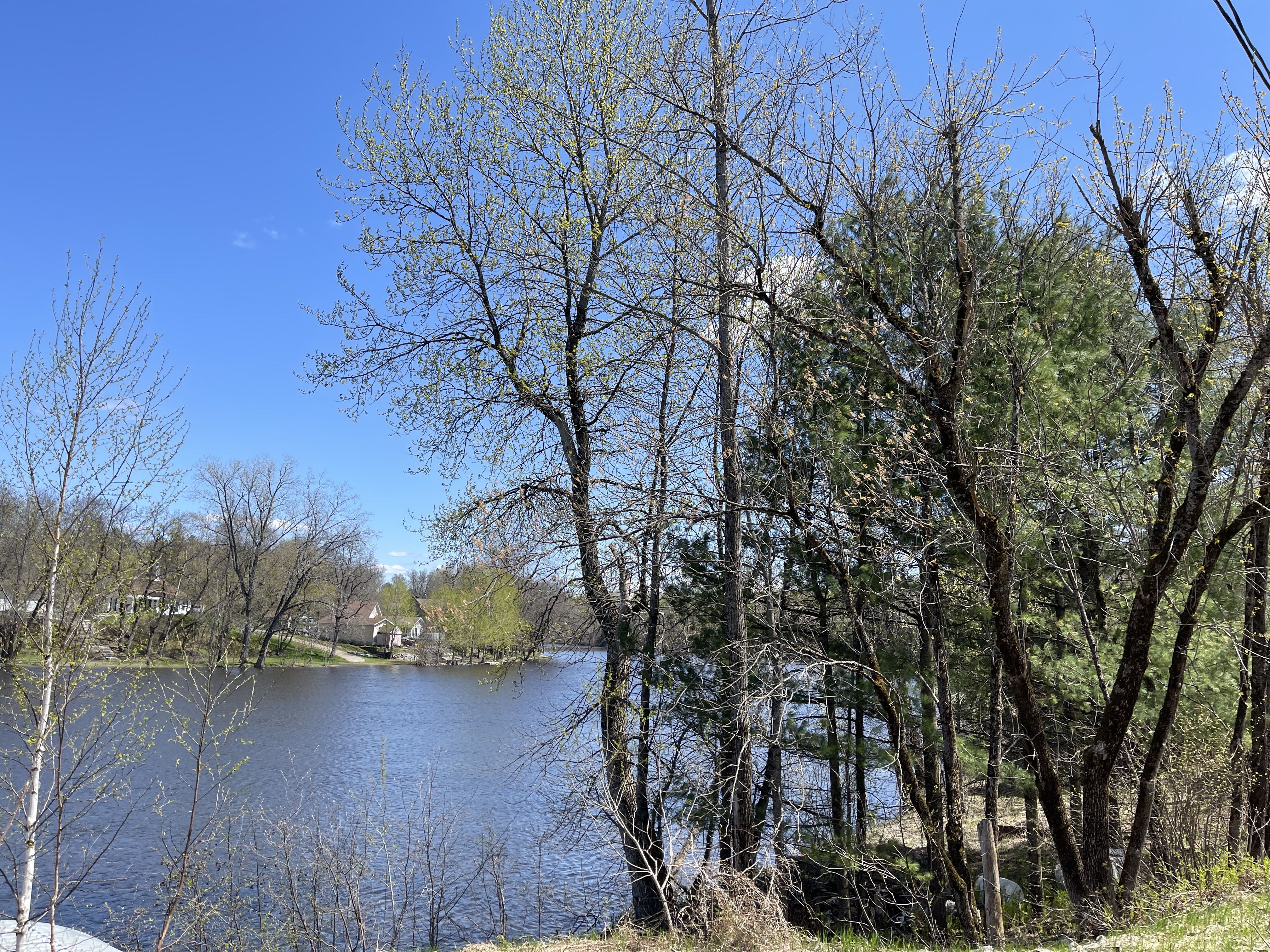
| Description | English: Batiscan River, at the mouth of the Rivière à la Lime,
Mauricie, Les Chenaux Regional County Municipality, Sainte-Geneviève-de-Batiscan, Route de la Pointe-Trudel, from bridge P-01566, Tuesday, May 9, 2023 Français : Rivière Batiscan, à l'embouchure de la Rivière à la Lime, Mauricie, MRC Les Chenaux, Sainte-Geneviève-de-Batiscan, route de la Pointe-Trudel, du pont P-01566, le mardi 9 mai 2023 |
| Date | |
| Source | Own work |
| Author | Nichole Ouellette|ouellette001.com |
| Camera location | | View this and other nearby images on: OpenStreetMap |
|---|
- More infos/photos, same author: ouellette001.com – Québec en photos – https://ouellette001.com/Quebec_en_photos/04_Mauricie/Les_Chenaux/Riviere_Batiscan_002.htm]
- About ouellette001.com
- Home ouellette001.com
Licensing
I, the copyright holder of this work, hereby publish it under the following license:
This file is licensed under the Creative Commons Attribution-Share Alike 4.0 International license.
- You are free:
- to share – to copy, distribute and transmit the work
- to remix – to adapt the work
- Under the following conditions:
- attribution – You must give appropriate credit, provide a link to the license, and indicate if changes were made. You may do so in any reasonable manner, but not in any way that suggests the licensor endorses you or your use.
- share alike – If you remix, transform, or build upon the material, you must distribute your contributions under the same or compatible license as the original.
File history
Click on a date/time to view the file as it appeared at that time.
| Date/Time | Thumbnail | Dimensions | User | Comment | |
|---|---|---|---|---|---|
| current | 11:21, 12 May 2023 | | 4,032 × 3,024 (6.06 MB) | Nichole Ouellette | Uploaded own work with UploadWizard |
File usage
The following page uses this file:
Global file usage
The following other wikis use this file:
- Usage on fr.wikipedia.org