
File:RON województwo pomorskie map.svg

Size of this PNG preview of this SVG file: 685 × 599 pixels. Other resolutions: 274 × 240 pixels | 549 × 480 pixels | 878 × 768 pixels | 1,170 × 1,024 pixels | 2,341 × 2,048 pixels | 1,000 × 875 pixels.
Original file (SVG file, nominally 1,000 × 875 pixels, file size: 212 KB)
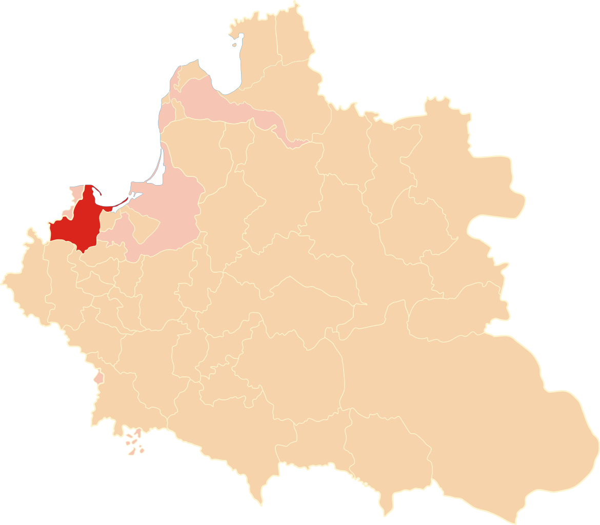
| Description | Położenie województwa pomorskiego na mapie Rzeczypospolitej Obojga Narodów w 1619 r. |
| Date | |
| Source | Own work |
| Author | Poznaniak |
| Permission (Reusing this file) |
I, the copyright holder of this work, hereby publish it under the following license: This file is licensed under the Creative Commons Attribution-Share Alike 3.0 Unported license.
|
File history
Click on a date/time to view the file as it appeared at that time.
| Date/Time | Thumbnail | Dimensions | User | Comment | |
|---|---|---|---|---|---|
| current | 17:34, 23 December 2012 | | 1,000 × 875 (212 KB) | Poznaniak | {{Information |Description = Położenie województwa pomorskiego na mapie Rzeczypospolitej Obojga Narodów w 1619 r. |Source = własna praca |Date = 23 grudnia ... |
File usage
The following 4 pages use this file:
Global file usage
The following other wikis use this file:
- Usage on be.wikipedia.org
- Usage on bg.wikipedia.org
- Usage on fr.wikipedia.org
- Usage on lt.wikipedia.org
- Usage on pl.wikipedia.org
- Usage on sl.wikipedia.org
- Usage on tr.wikipedia.org
- Usage on uk.wikipedia.org
- Usage on www.wikidata.org