
File:Outline Map of Jewish AO.svg

Size of this PNG preview of this SVG file: 800 × 507 pixels. Other resolutions: 320 × 203 pixels | 640 × 405 pixels | 1,024 × 648 pixels | 1,280 × 811 pixels | 2,560 × 1,621 pixels | 1,246 × 789 pixels.
Original file (SVG file, nominally 1,246 × 789 pixels, file size: 89 KB)
Summary
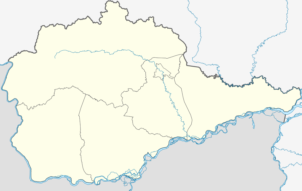
| Description | Русский: Позиционная карта Еврейской автономной области Координаты краёв:
|
| Date | |
| Source |
Own work This W3C-unspecified vector image was created with Inkscape . |
| Author | Виктор В |
| Other versions |
|


Licensing
| I, the copyright holder of this work, release this work into the public domain. This applies worldwide. In some countries this may not be legally possible; if so: I grant anyone the right to use this work for any purpose, without any conditions, unless such conditions are required by law. |
File history
Click on a date/time to view the file as it appeared at that time.
| Date/Time | Thumbnail | Dimensions | User | Comment | |
|---|---|---|---|---|---|
| current | 11:45, 17 November 2016 | | 1,246 × 789 (89 KB) | Stasyan117 | Территории, отданные Китаю |
| 19:58, 23 July 2010 |  | 1,246 × 789 (87 KB) | Виктор В | == {{int:filedesc}} == {{Information |Description={{ru|1=Позиционная карта Еврейской автономной области<br\>Координаты краёв: * север — 49.5° С * юг — 47.6° С * запад — 130.5° |
File usage
The following 15 pages use this file:
- 2014 Winter Olympics torch relay
- Abramovka, Jewish Autonomous Oblast
- Amurzet
- Babstovo
- Birobidzhan
- Danilovka, Jewish Autonomous Oblast
- Far Eastern Federal District
- Lazarevo, Jewish Autonomous Oblast
- Londoko
- Nizhneleninskoye
- Obluchye, Jewish Autonomous Oblast
- Teploozyorsk
- Volochayevka-2
- Module:Location map/data/Russia Jewish Autonomous Oblast
- Module:Location map/data/Russia Jewish Autonomous Oblast/doc
Global file usage
The following other wikis use this file:
- Usage on af.wikipedia.org
- Usage on ar.wikipedia.org
- Usage on be.wikipedia.org
- Аблучча
- Бірабіджан
- Смідовіч
- Цеплаазёрск
- Кульдур
- Біракан
- Біра (пасёлак гарадскога тыпу)
- Хінганск
- Прыамурскі
- Ландока-завод
- Ленінскае (Яўрэйская аўтаномная вобласць)
- Амурзет
- Валачаеўка-2
- Нікалаеўка (Яўрэйская аўтаномная вобласць)
- Ізвястковы (Яўрэйская аўтаномная вобласць)
- Шаблон:На карце/Расія Яўрэйская аўтаномная вобласць
- Usage on bg.wikipedia.org
- Usage on ceb.wikipedia.org
- Usage on ce.wikipedia.org
- Дубови (Жуьгтийн автономин область)
- Алексеевка (Жуьгтийн автономин область)
- Русски Поляна (Жуьгтийн автономин область)
- Красни Восток (Жуьгтийн автономин область)
- Красиви (Жуьгтийн автономин область)
- Опытни Поле (Жуьгтийн автономин область)
- Головино (Жуьгтийн автономин область)
- Раздольни (Жуьгтийн автономин область)
- Пронькино (Жуьгтийн автономин область)
- Кирга (Жуьгтийн автономин область)
- Аэропорт (Жуьгтийн автономин область)
- Жёлти Яр (Жуьгтийн автономин область)
- Птичник (Жуьгтийн автономин область)
- Валдгейм
- Казанка (Жуьгтийн автономин область)
- Петровка (Жуьгтийн автономин область)
- Надеждински (Жуьгтийн автономин область)
- Димитрово (Жуьгтийн автономин область)
- Кеп:Меттиган карта Росси Жуьгтийн автономин область
- Найфельд
- Бирофельд
- Ленински (Жуьгтийн автономин область)
- Квашнино (Жуьгтийн автономин область)
- Кирово (Жуьгтийн автономин область)
- Октябрьски (Жуьгтийн автономин область)
- Горни (Жуьгтийн автономин область)
- Степной (Жуьгтийн автономин область)
- Целинни (Жуьгтийн автономин область)
- Лазарево (Жуьгтийн автономин область)
View more global usage of this file.