
File:Mapa de localización Arequipa.svg

Size of this PNG preview of this SVG file: 512 × 333 pixels. Other resolutions: 320 × 208 pixels | 640 × 416 pixels | 1,024 × 666 pixels | 1,280 × 833 pixels | 2,560 × 1,665 pixels.
Original file (SVG file, nominally 512 × 333 pixels, file size: 1.53 MB)
Summary
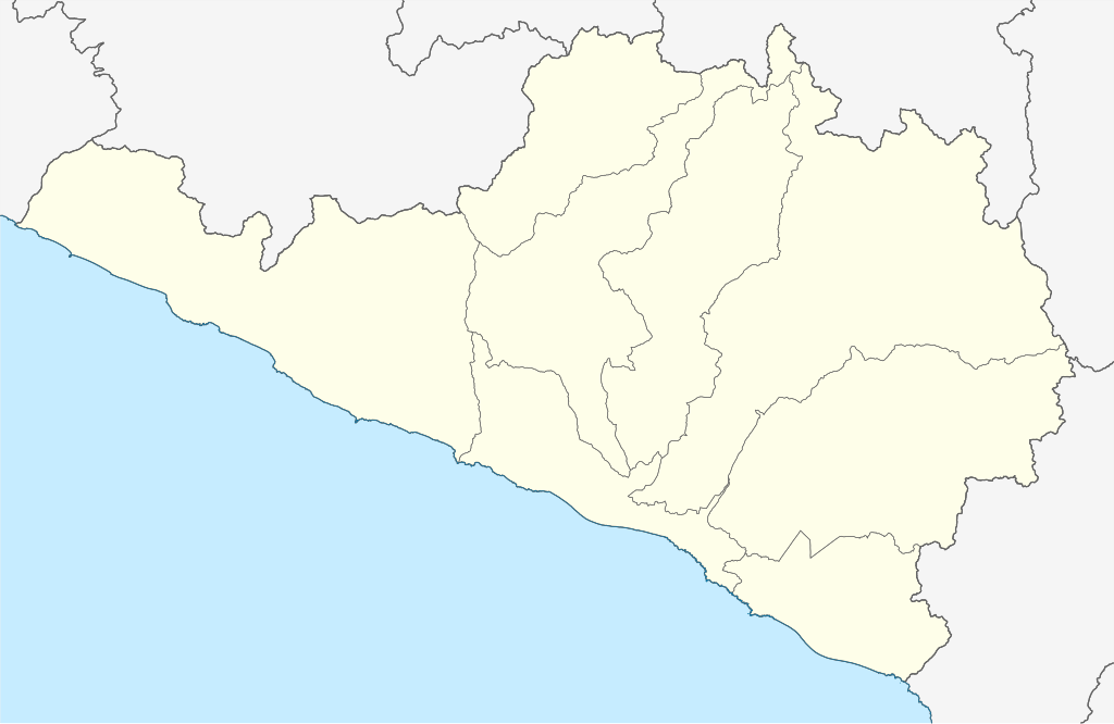
| Description | Español: Mapa político en blanco del Departamento de Arequipa.
Proyección equirectangular. Límites geográficos del mapa:
English: Blank political map of Department of Arequipa.
Equirectangular projection. Geographic limits of the map:
|
| Date | |
| Source |
Own work, using
|
| Author | Waterloo1883 |
| Other versions |
|

Licensing
I, the copyright holder of this work, hereby publish it under the following license:
This file is licensed under the Creative Commons Attribution-Share Alike 4.0 International license.
- You are free:
- to share – to copy, distribute and transmit the work
- to remix – to adapt the work
- Under the following conditions:
- attribution – You must give appropriate credit, provide a link to the license, and indicate if changes were made. You may do so in any reasonable manner, but not in any way that suggests the licensor endorses you or your use.
- share alike – If you remix, transform, or build upon the material, you must distribute your contributions under the same or compatible license as the original.
File history
Click on a date/time to view the file as it appeared at that time.
| Date/Time | Thumbnail | Dimensions | User | Comment | |
|---|---|---|---|---|---|
| current | 18:35, 13 January 2021 | | 512 × 333 (1.53 MB) | Waterloo1883 | Mayor notoriedad en los límites administrativos. |
| 21:43, 29 September 2020 |  | 512 × 333 (1.53 MB) | Waterloo1883 | Uploaded own work with UploadWizard |
File usage
The following 3 pages use this file:
Global file usage
The following other wikis use this file:
- Usage on es.wikipedia.org
- Mollendo
- Quilca
- Arequipa
- Chivay
- Chiguata
- Quequeña
- Cabanaconde
- Ichupampa
- Tapay
- Tisco
- Yanque
- Cocachacra
- Mejía (Arequipa)
- Wikiproyecto:Ilustración/Taller de Cartografía/Realizaciones/América del Sur
- Chuquibamba
- Caravelí
- Aplao
- Cotahuasi
- Camaná
- Huambo (Caylloma)
- Corire
- Salinas Huito
- Chala (Arequipa)
- El Pedregal (Arequipa)
- Acarí
- Lari (Caylloma)
- Maca (Caylloma)
- Sibayo
- Tuti
- Yura (Arequipa)
- Callalli
- Coporaque (Arequipa)
- Pinchollo
- Andagua (Castilla)
- Caylloma
- La Joya (Arequipa)
- Plantilla:Mapa de localización de Arequipa
- Usage on fr.wikipedia.org
- Usage on ru.wikipedia.org
- Usage on vi.wikipedia.org