
File:East Timor Satellite.jpg
Size of this preview: 800 × 576 pixels. Other resolutions: 320 × 230 pixels | 640 × 461 pixels | 913 × 657 pixels.
Original file (913 × 657 pixels, file size: 48 KB, MIME type: image/jpeg)
This file is in the public domain because it is a mosaic composed by images obtained from OpenLayers (http://openlayers.org)
|
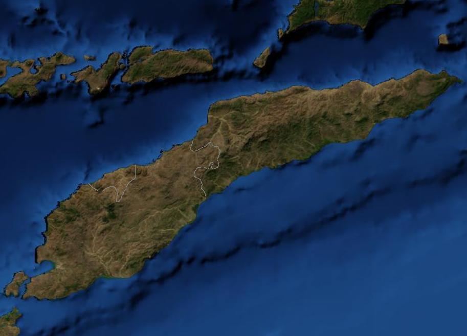
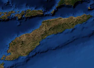
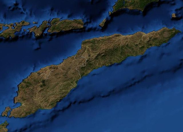
Satellite image of East Timor.
File history
Click on a date/time to view the file as it appeared at that time.
| Date/Time | Thumbnail | Dimensions | User | Comment | |
|---|---|---|---|---|---|
| current | 03:39, 19 March 2007 | | 913 × 657 (48 KB) | Waldyrious | {{PD-because|it is a mosaic composed by images obtained from OpenLayers (http://openlayers.org)}} Satellite image of East Timor. Category:Maps of East Timor |
File usage
The following 2 pages use this file:
Global file usage
The following other wikis use this file:
- Usage on af.wikipedia.org
- Usage on bn.wikipedia.org
- Usage on nl.wikipedia.org
- Usage on pl.wiktionary.org
- Usage on pt.wikipedia.org