
File:Donaghpatrick Bridge.jpg
Size of this preview: 800 × 600 pixels. Other resolutions: 320 × 240 pixels | 640 × 480 pixels | 1,024 × 768 pixels | 1,280 × 960 pixels | 1,536 × 1,152 pixels.
Original file (1,536 × 1,152 pixels, file size: 201 KB, MIME type: image/jpeg)
Summary
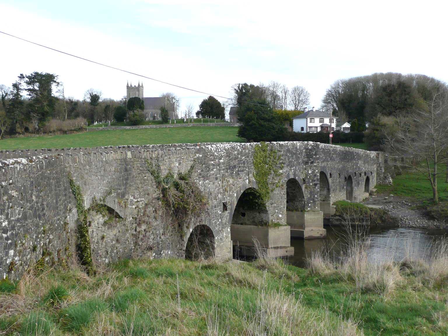
| Description | English: Donaghpatrick Bridge, Donaghpatrick, Co. Meath |
| Date | |
| Source | From geograph.org.uk |
| Author | JP |
| Permission (Reusing this file) |
Creative Commons Attribution Share-alike license 2.0 |
| Camera location | | View this and other nearby images on: OpenStreetMap |
|---|
Licensing

|
This image was taken from the Geograph project collection. See this photograph's page on the Geograph website for the photographer's contact details. The copyright on this image is owned by JP and is licensed for reuse under the Creative Commons Attribution-ShareAlike 2.0 license. |
This file is licensed under the Creative Commons Attribution-Share Alike 2.0 Generic license.
Attribution: JP
- You are free:
- to share – to copy, distribute and transmit the work
- to remix – to adapt the work
- Under the following conditions:
- attribution – You must give appropriate credit, provide a link to the license, and indicate if changes were made. You may do so in any reasonable manner, but not in any way that suggests the licensor endorses you or your use.
- share alike – If you remix, transform, or build upon the material, you must distribute your contributions under the same or compatible license as the original.
Original upload log
The original description page was here. All following user names refer to en.wikipedia.
- 2010-09-04 20:54 Bashereyre 640×480× (152386 bytes) {{Information |Description = Donaghpatrick Bridge |Source = Geograph http://www.geograph.org.uk/ |Date = ~~~~~ |Author = JP |Permission = Yes |other_versions = Yes }} JP (find more nearby)
File history
Click on a date/time to view the file as it appeared at that time.
| Date/Time | Thumbnail | Dimensions | User | Comment | |
|---|---|---|---|---|---|
| current | 21:06, 8 January 2011 | | 1,536 × 1,152 (201 KB) | Silverblaster | Larger version |
| 14:19, 8 September 2010 |  | 640 × 480 (149 KB) | Angusmclellan | == {{int:filedesc}} == {{Information |Description={{en|1=Donaghpatrick Bridge, Donaghpatrick, Co. Meath}} |Source=From [http://www.geograph.org.uk/photo/704754 geograph.org.uk] |Date=2008-02-24 |Author=[http://www.geograph.org.uk/profile/8888 JP] |Permiss |
File usage
The following 2 pages use this file:
Global file usage
The following other wikis use this file:
- Usage on ga.wikipedia.org
- Usage on gv.wikipedia.org
- Usage on www.wikidata.org