
File:Coombe Lane near Woodnesborough 4515419 718fe522.jpg
Size of this preview: 800 × 600 pixels. Other resolutions: 320 × 240 pixels | 640 × 480 pixels | 1,024 × 768 pixels | 1,280 × 960 pixels | 2,272 × 1,704 pixels.
Original file (2,272 × 1,704 pixels, file size: 1.12 MB, MIME type: image/jpeg)
Summary
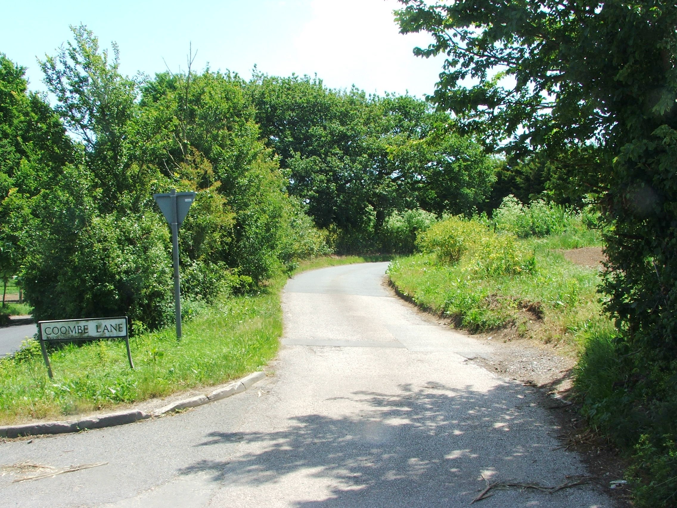
| Description | English: Coombe Lane, near Woodnesborough |
| Date | |
| Source | From geograph.org.uk |
| Author | Chris Whippet |
| Permission (Reusing this file) |
Creative Commons Attribution Share-alike license 2.0 |
| Attribution (required by the license) | Chris Whippet / Coombe Lane, near Woodnesborough / |
| Camera location | | View this and other nearby images on: OpenStreetMap |
|---|
_heading:135.00&language=en)
| Object location | | View this and other nearby images on: OpenStreetMap |
|---|
_heading:135.00&language=en)
Licensing

|
This image was taken from the Geograph project collection. See this photograph's page on the Geograph website for the photographer's contact details. The copyright on this image is owned by Chris Whippet and is licensed for reuse under the Creative Commons Attribution-ShareAlike 2.0 license. |
This file is licensed under the Creative Commons Attribution-Share Alike 2.0 Generic license.
Attribution: Chris Whippet
- You are free:
- to share – to copy, distribute and transmit the work
- to remix – to adapt the work
- Under the following conditions:
- attribution – You must give appropriate credit, provide a link to the license, and indicate if changes were made. You may do so in any reasonable manner, but not in any way that suggests the licensor endorses you or your use.
- share alike – If you remix, transform, or build upon the material, you must distribute your contributions under the same or compatible license as the original.
File history
Click on a date/time to view the file as it appeared at that time.
| Date/Time | Thumbnail | Dimensions | User | Comment | |
|---|---|---|---|---|---|
| current | 12:00, 21 July 2021 | | 2,272 × 1,704 (1.12 MB) | Geograph Update Bot | Higher-resolution version from Geograph |
| 12:18, 8 March 2021 |  | 640 × 480 (115 KB) | Storye book | == {{int:filedesc}} == {{Information |Description={{en|1=Coombe Lane, near Woodnesborough}} |Source=From [https://www.geograph.org.uk/photo/4515419 geograph.org.uk] |Date=2015-06-07 |Author=[https://www.geograph.org.uk/profile/27922 Chris Whippet] |Permission=Creative Commons Attribution Share-alike license 2.0 |Other fields={{Credit line |Author=Chris Whippet |License=[https://creativecommons.org/licenses/by-sa/2.0/ CC BY-SA 2.0] |Other=''Coombe Lane, near Woodnesborough'' }} }} {{Locati... |
File usage
The following page uses this file:
Global file usage
The following other wikis use this file:
- Usage on cy.wikipedia.org
- Usage on fr.wikipedia.org
- Usage on pl.wikipedia.org
- Usage on www.wikidata.org