
File:Canadian postal district map.svg

Size of this PNG preview of this SVG file: 709 × 600 pixels. Other resolutions: 284 × 240 pixels | 567 × 480 pixels | 908 × 768 pixels | 1,210 × 1,024 pixels | 2,421 × 2,048 pixels | 1,000 × 846 pixels.
Original file (SVG file, nominally 1,000 × 846 pixels, file size: 237 KB)
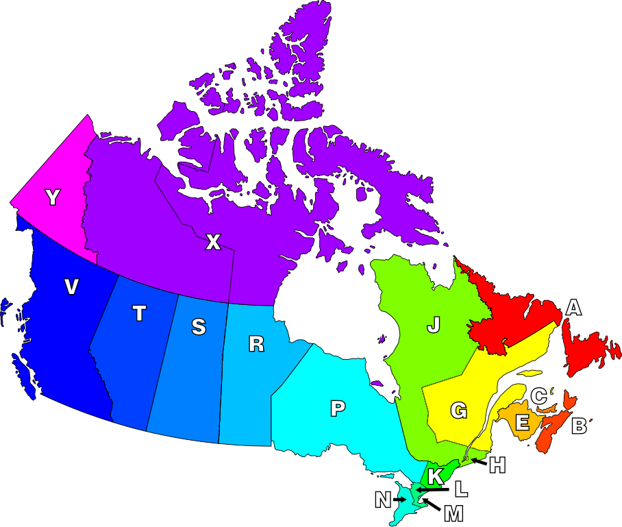
| Description | English: Map of Canada highlighting postal districts. |
||
| Date | |||
| Source | Own work, based on National Atlas of Canada mapping. | ||
| Author | Denelson83 | ||
| Permission (Reusing this file) |
|
||
| Other versions | Image:Canadian Postal Code Map.png |
File history
Click on a date/time to view the file as it appeared at that time.
| Date/Time | Thumbnail | Dimensions | User | Comment | |
|---|---|---|---|---|---|
| current | 07:21, 8 January 2007 | | 1,000 × 846 (237 KB) | Denelson83 | Round corners |
| 07:18, 8 January 2007 |  | 1,000 × 846 (236 KB) | Denelson83 | The definition of "postal district" is a geographical area in Canada where all en:Canadian postal codes start with the same letter. {{Information |Description=Map of Canada highlighting postal districts. |Source=Own work, based on National Atlas of |
File usage
The following 3 pages use this file:
Global file usage
The following other wikis use this file:
- Usage on csb.wikipedia.org
- Usage on de.wikipedia.org
- Usage on eo.wikipedia.org
- Usage on fr.wikipedia.org
- Usage on id.wikipedia.org
- Usage on nl.wikipedia.org
- Usage on pl.wikipedia.org
- Usage on ta.wikipedia.org