
File:Côte d’Azur overview map.png

Size of this preview: 800 × 495 pixels. Other resolutions: 320 × 198 pixels | 640 × 396 pixels | 1,024 × 633 pixels | 1,280 × 791 pixels | 2,560 × 1,583 pixels | 7,377 × 4,561 pixels.
Original file (7,377 × 4,561 pixels, file size: 14.04 MB, MIME type: image/png)
Summary
| Camera location | | View this and other nearby images on: OpenStreetMap |
|---|
| Description |
|
| Date | |
| Source |
|
| Author |
|
| Other versions |
 |
Licensing
| This work is licensed under the Open Database License (summary). |
File history
Click on a date/time to view the file as it appeared at that time.
| Date/Time | Thumbnail | Dimensions | User | Comment | |
|---|---|---|---|---|---|
| current | 10:05, 7 May 2022 | | 7,377 × 4,561 (14.04 MB) | Pechristener | Provinzen angeschrieben |
| 21:26, 12 June 2021 |  | 7,377 × 4,561 (13.94 MB) | Pechristener | einige Korrekturen | |
| 09:14, 18 March 2021 |  | 3,689 × 2,281 (4.78 MB) | Pechristener | grössere Schrift | |
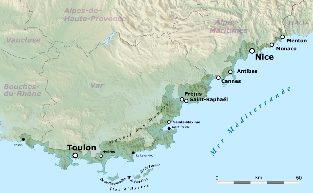
| 08:16, 18 March 2021 |  | 3,689 × 2,281 (4.78 MB) | Pechristener | == {{int:filedesc}} == {{Location|43.449856|6.5415625}} {{Information |Description={{en|Map of French Riviera, France.}} {{fr|Carte de la Côte d'Azur, France.}}<br/> Geographic limits of the map:<br/> *Left: 5.359887<br/> *Right: 7.723238<br/> *Top: 43.979415<br/> *Bottom: 42.920297 |Source= * [http://www.openstreetmap.org Openstreetmap] data * relief: STRM data |Date=2021-03-10 |Author= * OpenStreetMap data: openStree... |
File usage
The following 3 pages use this file:
Global file usage
The following other wikis use this file:
- Usage on ar.wikipedia.org
- Usage on ast.wikipedia.org
- Usage on az.wikipedia.org
- Usage on ca.wikipedia.org
- Usage on de.wikipedia.org
- Usage on eo.wikipedia.org
- Usage on eu.wikipedia.org
- Usage on fa.wikipedia.org
- Usage on fr.wikipedia.org
- Usage on ga.wikipedia.org
- Usage on it.wikivoyage.org
- Usage on ja.wikipedia.org
- Usage on ro.wikipedia.org
- Usage on simple.wikipedia.org
- Usage on sq.wikipedia.org
- Usage on uk.wikipedia.org
- Usage on www.wikidata.org
- Usage on zh.wikipedia.org