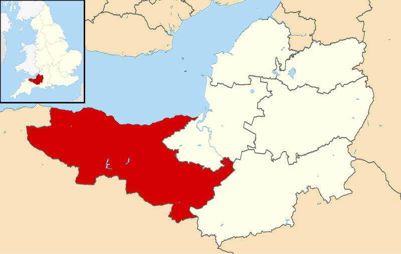
File:Somerset West and Taunton UK locator map.svg

Size of this PNG preview of this SVG file: 800 × 506 pixels. Other resolutions: 320 × 202 pixels | 640 × 405 pixels | 1,024 × 647 pixels | 1,280 × 809 pixels | 2,560 × 1,619 pixels | 1,425 × 901 pixels.
Original file (SVG file, nominally 1,425 × 901 pixels, file size: 1.15 MB)
File history
Click on a date/time to view the file as it appeared at that time.
| Date/Time | Thumbnail | Dimensions | User | Comment | |
|---|---|---|---|---|---|
| current | 14:51, 26 March 2019 |  | 1,425 × 901 (1.15 MB) | Maswimelleu | Merged the two prior districts together to illustrate the new area better |
| 12:23, 30 May 2018 |  | 1,425 × 901 (1.16 MB) | Maswimelleu | User created page with UploadWizard |
File usage
The following 5 pages use this file:
Global file usage
The following other wikis use this file:
- Usage on ceb.wikipedia.org
- Usage on cy.wikipedia.org
- Usage on de.wikipedia.org
- Usage on fr.wikipedia.org
- Usage on it.wikipedia.org
- Usage on nl.wikipedia.org
- Usage on pl.wikipedia.org
- Usage on sv.wikipedia.org
- Usage on www.wikidata.org
- Usage on zh-min-nan.wikipedia.org
