
File:NPS east-potomac-park-map.jpg

Size of this preview: 409 × 600 pixels. Other resolutions: 163 × 240 pixels | 327 × 480 pixels | 523 × 768 pixels | 698 × 1,024 pixels | 1,350 × 1,980 pixels.
Original file (1,350 × 1,980 pixels, file size: 336 KB, MIME type: image/jpeg)
Summary
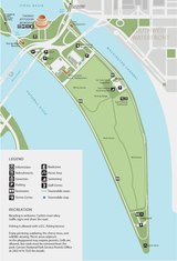
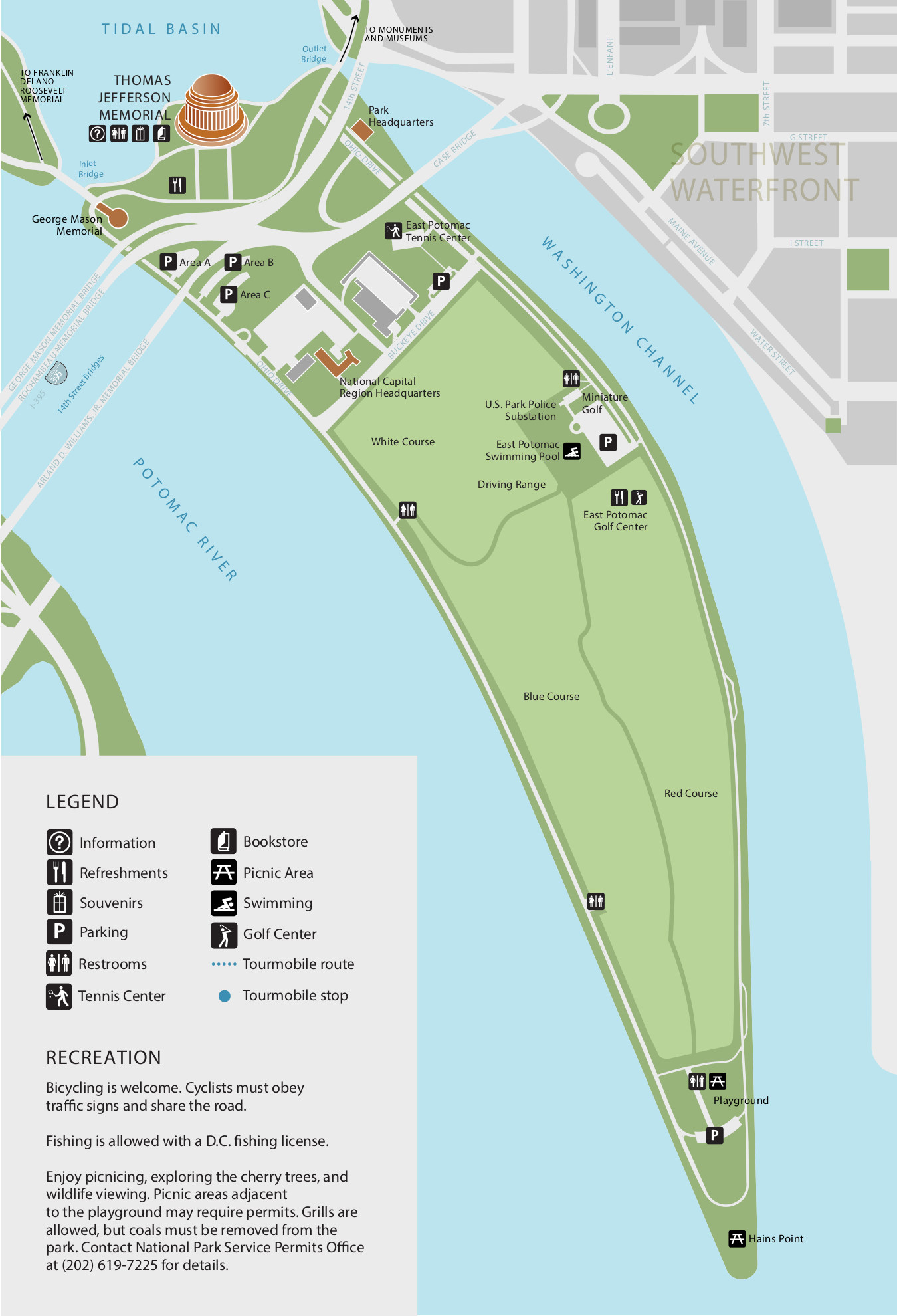
| Description | English: East Potomac Park map, showing the park located south of the Thomas Jefferson Memorial that leads to Hains Point. |
| Date | |
| Source | U.S. National Park Service (http://npmaps.com/wp-content/uploads/east-potomac-park-map.jpg) |
| Author | U.S. National Park Service, restoration/cleanup by National Park Maps (https://npmaps.com) |
| Other versions |
 |
Licensing
| This image or media file contains material based on a work of a National Park Service employee, created as part of that person's official duties. As a work of the U.S. federal government, such work is in the public domain in the United States. See the NPS website and NPS copyright policy for more information. |
File history
Click on a date/time to view the file as it appeared at that time.
| Date/Time | Thumbnail | Dimensions | User | Comment | |
|---|---|---|---|---|---|
| current | 01:22, 17 May 2017 | | 1,350 × 1,980 (336 KB) | RKBot | =={{int:filedesc}}== {{Information |description= {{en|1=East Potomac Park map, showing the park located south of the Thomas Jefferson Memorial that leads to Hains Point.}} |date= 2016-11-27 |source= U.S. National Park Service (http://npmaps.com/wp-cont... |
File usage
The following page uses this file:
Global file usage
The following other wikis use this file:
- Usage on www.wikidata.org