
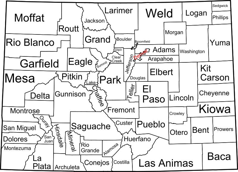
File:Map of Colorado counties, labelled.svg

Size of this PNG preview of this SVG file: 800 × 579 pixels. Other resolutions: 320 × 232 pixels | 640 × 463 pixels | 1,024 × 741 pixels | 1,280 × 926 pixels | 2,560 × 1,853 pixels | 6,233 × 4,511 pixels.
Original file (SVG file, nominally 6,233 × 4,511 pixels, file size: 635 KB)
A map of Colorado, with county outlines and names. This is a modification of Image:Map of Colorado counties, blank.svg. See that page for information about the map.
David Benbennick made this map. I release all rights to it.
| I, the copyright holder of this work, release this work into the public domain. This applies worldwide. In some countries this may not be legally possible; if so: I grant anyone the right to use this work for any purpose, without any conditions, unless such conditions are required by law. |
File history
Click on a date/time to view the file as it appeared at that time.
| Date/Time | Thumbnail | Dimensions | User | Comment | |
|---|---|---|---|---|---|
| current | 09:13, 12 February 2009 | | 6,233 × 4,511 (635 KB) | Retro00064 | Changed text to paths to attempt to remove grainyness when scaled down. |
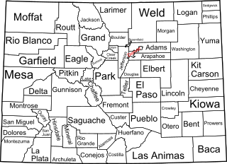
| 05:06, 16 October 2005 |  | 6,233 × 4,511 (192 KB) | Dbenbenn | by me, PD |
File usage
The following 4 pages use this file:
Global file usage
The following other wikis use this file:
- Usage on ast.wikipedia.org
- Usage on de.wikipedia.org
- Usage on el.wikipedia.org
- Usage on fi.wikipedia.org
- Usage on frr.wikipedia.org
- Usage on fr.wikipedia.org
- Usage on he.wikipedia.org
- Usage on it.wikipedia.org
- Usage on ja.wikipedia.org
- Usage on li.wikipedia.org
- Usage on nds.wikipedia.org
- Usage on nl.wikipedia.org
- Usage on pa.wikipedia.org
- Usage on pt.wikipedia.org
- Usage on ro.wikipedia.org
- Usage on sv.wikipedia.org
- Usage on vi.wikipedia.org
- Usage on zh.wikipedia.org