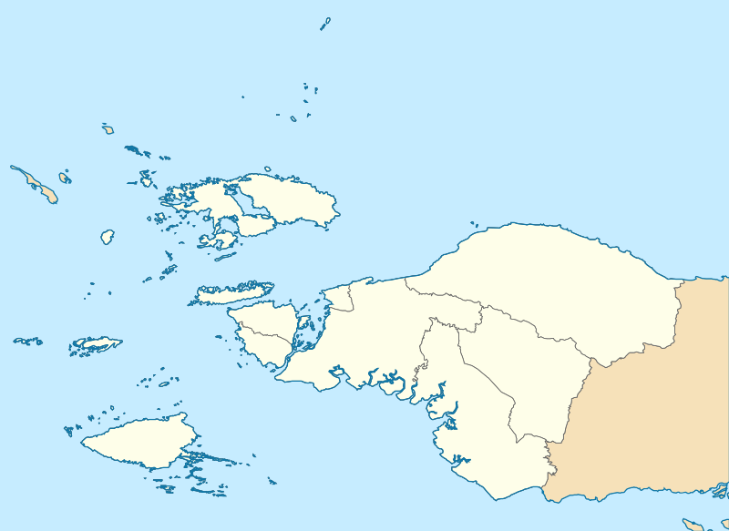
File:Indonesia Southwest Papua location map.svg

Size of this PNG preview of this SVG file: 800 × 583 pixels. Other resolutions: 320 × 233 pixels | 640 × 467 pixels | 1,024 × 747 pixels | 1,280 × 933 pixels | 2,560 × 1,867 pixels | 1,894 × 1,381 pixels.
Original file (SVG file, nominally 1,894 × 1,381 pixels, file size: 135 KB)
File history
Click on a date/time to view the file as it appeared at that time.
| Date/Time | Thumbnail | Dimensions | User | Comment | |
|---|---|---|---|---|---|
| current | 01:41, 2 December 2023 |  | 1,894 × 1,381 (135 KB) | Envapid | Uploaded own work with UploadWizard |
File usage
The following 25 pages use this file:
- Asia Islands
- Ayawasi
- Ayawasi Airport
- Bikar, Southwest Papua
- Cape Opmarai Airfield
- Domine Eduard Osok Airport
- Doom Island
- Duriankari language
- Inanwatan
- Konda language (Papuan)
- Kwoor
- Middleburg Airfield
- Raam (Southwest Papua)
- Sagewin
- Sansapor Airfield
- Soop (Southwest Papua)
- Suabo language
- Teminabuan
- Warir
- Warswai River
- Werur
- Werur Airport
- Yahadian language
- Module:Location map/data/Indonesia Southwest Papua
- Module:Location map/data/Indonesia Southwest Papua/doc
Global file usage
The following other wikis use this file:
- Usage on fr.wikipedia.org
- Usage on id.wikipedia.org
- Aimas, Sorong
- Kepulauan Miossu
- Pulau Fani
- Pulau Budd
- Gempa bumi Papua Barat 2009
- Keuskupan Manokwari–Sorong
- Daftar paroki di Keuskupan Manokwari–Sorong
- Bandar Udara Domine Eduard Osok
- Bandar Udara Ayawasi
- Bahasa Abun
- Bahasa Karon Dori
- Bandar Udara Werur
- Lembah Kebar
- Bon Irau
- Bahasa Ambel
- Bandar Udara Kebar
- Pulau Warir
- Modul:Location map/data/Indonesia Papua Barat Daya
- Modul:Location map/data/Indonesia Papua Barat Daya/doc
- Templat:Peta interaktif bahasa/Abun
- Usage on id.wiktionary.org
- Usage on si.wikipedia.org
- Usage on www.wikidata.org
