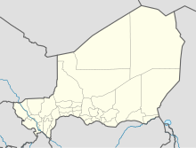
Arlit Airport
Arlit Airport | |||||||||||
|---|---|---|---|---|---|---|---|---|---|---|---|
| Summary | |||||||||||
| Airport type | Public | ||||||||||
| Owner | Government | ||||||||||
| Location | Arlit, Niger | ||||||||||
| Elevation AMSL | 1,443 ft / 440 m | ||||||||||
| Coordinates | 18°47′20″N 7°21′36″E / 18.78889°N 7.36000°E | ||||||||||
| Map | |||||||||||
 | |||||||||||
| Runways | |||||||||||
| |||||||||||
Source: Google Maps[1] | |||||||||||
Arlit Airport (IATA: RLT, ICAO: DRZL) is an airport serving Arlit in the Agadez Region of northern-central Niger.
References

