
Datei:Mexico Guerrero location map.svg

Größe der PNG-Vorschau dieser SVG-Datei: 800 × 503 Pixel. Weitere aus SVG automatisch erzeugte PNG-Grafiken in verschiedenen Auflösungen: 320 × 201 Pixel | 640 × 403 Pixel | 1.024 × 644 Pixel | 1.280 × 805 Pixel | 2.560 × 1.610 Pixel | 3.993 × 2.512 Pixel
Originaldatei (SVG-Datei, Basisgröße: 3.993 × 2.512 Pixel, Dateigröße: 1,18 MB)
![]()
Diese Datei und die Informationen unter dem roten Trennstrich werden aus dem zentralen Medienarchiv Wikimedia Commons eingebunden.
![]()
W3C-validity not checked.
| Beschreibung |
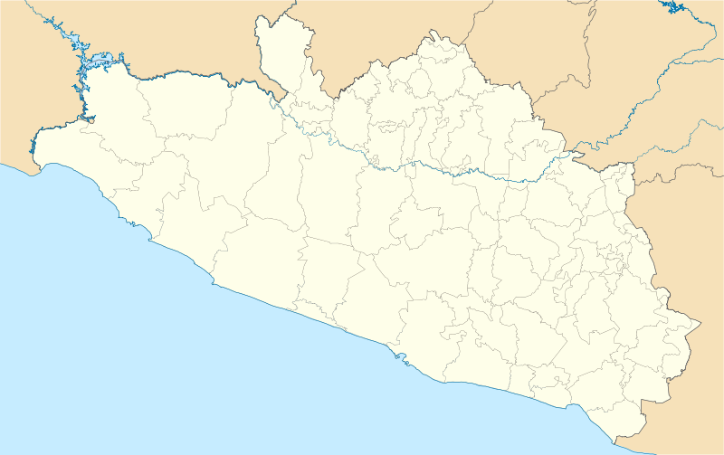
Location Map of en:Estado de Guerrero Equirectangular projection, Geographic limits of the map:
|
| Datum | |
| Quelle | Eigenes Werk |
| Urheber | Battroid (talk) |
Ich, der Urheber dieses Werkes, veröffentliche es unter der folgenden Lizenz:
| Ich, der Urheberrechtsinhaber dieses Werkes, veröffentliche es als gemeinfrei. Dies gilt weltweit. In manchen Staaten könnte dies rechtlich nicht möglich sein. Sofern dies der Fall ist: Ich gewähre jedem das bedingungslose Recht, dieses Werk für jedweden Zweck zu nutzen, es sei denn, Bedingungen sind gesetzlich erforderlich. |
Dateiversionen
Klicke auf einen Zeitpunkt, um diese Version zu laden.
| Version vom | Vorschaubild | Maße | Benutzer | Kommentar | |
|---|---|---|---|---|---|
| aktuell | 07:01, 16. Dez. 2011 | | 3.993 × 2.512 (1,18 MB) | Battroid | {{ValidSVG}} {{Information |Description=Location Map of en:Estado de Guerrero Equirectangular projection, Geographic limits of the map: * N: 18.96° N * S: 16.25° N * W: 102.39° W * E: 97.87° W |Source={{own work}} |Date=2011-12-13 |Author=[[User: |
| 07:11, 14. Dez. 2011 |  | 3.993 × 2.512 (1,17 MB) | Battroid | {{ValidSVG}} {{Information |Description=Location Map of en:Estado de Guerrero Equirectangular projection, Geographic limits of the map: * N: 18.96° N * S: 16.25° N * W: 102.39° W * E: 97.87° W |Source={{own work}} |Date=2011-12-13 |Author=[[User: | |
| 06:53, 14. Dez. 2011 |  | 3.993 × 2.512 (1,17 MB) | Battroid | {{ValidSVG}} {{Information |Description=Location Map of en:Estado de Guerrero Equirectangular projection, Geographic limits of the map: * N: 18.96° N * S: 16.25° N * W: 102.39° W * E: 97.87° W |Source={{own work}} |Date=2011-12-13 |Author=[[User: |
Dateiverwendung
Die folgenden 12 Seiten verwenden diese Datei:
Globale Dateiverwendung
Die nachfolgenden anderen Wikis verwenden diese Datei:
- Verwendung auf ar.wikipedia.org
- Verwendung auf ba.wikipedia.org
- Verwendung auf bg.wikipedia.org
- Verwendung auf ceb.wikipedia.org
- Verwendung auf ce.wikipedia.org
- Verwendung auf en.wikipedia.org
- Acapulco
- Chilpancingo
- Acapulco International Airport
- Taxco
- Zihuatanejo
- Tixtla
- Ixtapa-Zihuatanejo International Airport
- Iguala
- Cuajinicuilapa
- Pie de la Cuesta, Guerrero
- San Marcos, Guerrero
- Chilapa de Álvarez
- Huitzuco
- Oxtotitlán
- Tlapa de Comonfort
- Ciudad Altamirano
- Ixcateopan de Cuauhtémoc
- Cutzamala de Pinzón
- Juchitán, Guerrero
- San Jerónimo de Juárez
- Cocula, Guerrero
- Petatlán
- Apango
- Chichihualco
- San Luis Acatlán
- Acapulco (municipality)
- Ahuacuotzingo (municipality)
- Cuajinicuilapa (municipality)
- Eduardo Neri
- General Canuto A. Neri
- Marquelia (municipality)
- Ometepec (municipality)
- Pilcaya (municipality)
- Tecpan de Galeana (municipality)
- Tlacoachistlahuaca (municipality)
- Xalpatláhuac (municipality)
- Xochihuehuetlán (municipality)
- Acatepec
- Ajuchitlán
- Ahuacuotzingo
- Alcozauca de Guerrero
- Alpoyeca
Weitere globale Verwendungen dieser Datei anschauen.