Uttar Khan Thana
Uttar Khan Thana উত্তরখান থানা | |
|---|---|
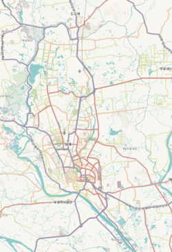
 Expandable map of vicinity of Uttar Khan Thana | |
| Coordinates: 23°52′52″N 90°26′19″E / 23.88111°N 90.43857°E | |
| Country | |
| Division | Dhaka Division |
| District | Dhaka District |
| Area | |
• Total | 20.09 km2 (7.76 sq mi) |
| Elevation | 23 m (75 ft) |
| Population | |
• Total | 126,149 |
| • Density | 3,929/km2 (10,180/sq mi) |
| Time zone | UTC+6 (BST) |
| Postal code | 1230 |
| Area code | 02[3] |
Uttar Khan is a Thana of Dhaka District in the Division of Dhaka, Bangladesh.
Geography
The thana is bounded by Tongi Khal (canal) and Gazipur Sadar Upazila on the north, Khilkhet Thana and Dhakshinkhan Thana on the south, Balu River and Kaliganj on the east and Gazipur Sadar Upazila and Dhakshinkhan Thana on the west. Its area is 20.09 km2.[4] It is bounded by Tongi Khal (canal) and Gazipur Sadar Upazila on the north, Khilkhet and Dakshinkhan thanas on the south, Balu River and Kaliganj (Gazipur) upazila on the east, Gazipur Sadar upazila and Daskhinkhan thanas on the west.[5]
Demographics
According to 2011 Census of Bangladesh, Uttar Khan Thana has a population of 78,933 with average household size of 4.3 members, and an average literacy rate of 68.8% vs national average of 51.8% literacy.[6]
See also
References
- ^ "Geographic coordinates of Dhaka, Bangladesh". DATEANDTIME.INFO. Retrieved 7 July 2016.
- ^ National Report (PDF). Population and Housing Census 2022. Vol. 1. Dhaka: Bangladesh Bureau of Statistics. November 2023. p. 386. ISBN 978-9844752016.
- ^ "Bangladesh Area Code". China: Chahaoba.com. 18 October 2024.
- ^ Md Tuhin Molla (2012). "Dhaka District". In Sirajul Islam and Ahmed A. Jamal (ed.). Banglapedia: National Encyclopedia of Bangladesh (Second ed.). Asiatic Society of Bangladesh.
- ^ "Uttarkhan Thana". Banglapedia. Retrieved 2019-08-31.
- ^ Bangladesh Bureau of Statistics (2011). "Population & Housing Census" (PDF). Bangladesh Government. Archived from the original (PDF) on 3 September 2017. Retrieved 17 April 2015.


