Nookat District
Nookat Ноокат району | |
|---|---|
 | |
| Country | Kyrgyzstan |
| Region | Osh Region |
| Area | |
• Total | 3,179 km2 (1,227 sq mi) |
| Population (2021)[1] | |
• Total | 302,481 |
| • Density | 95/km2 (250/sq mi) |
| Time zone | UTC+6 |
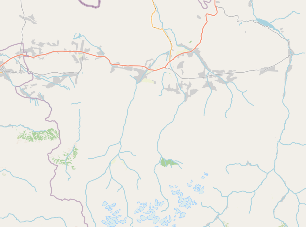
Nookat (Kyrgyz: Ноокат району, also: Naukat) is a district of Osh Region in south-western Kyrgyzstan. Its area is 3,179 square kilometres (1,227 sq mi),[2] and its resident population was 302,481 in 2021.[1] The administrative seat lies at Nookat.[3]
Demographics
The population of Nookat District, according to the Population and Housing Census of 2009, was 236,455. 16,125 people live in urban areas, and 220,330 in rural ones.[2]
| Year | Pop. | ±% p.a. |
|---|---|---|
| 1970 | 76,619 | — |
| 1979 | 108,550 | +3.95% |
| 1989 | 143,476 | +2.83% |
| 1999 | 196,486 | +3.19% |
| 2009 | 236,455 | +1.87% |
| 2021 | 302,481 | +2.07% |
| Note: resident population; Sources:[2][1] | ||
Ethnic composition
According to the 2009 Census, the ethnic composition of the Nookat District (de jure population) was:[2]
| Ethnic group | Population | Proportion of Nookat District population |
|---|---|---|
| Kyrgyzs | 173,920 | 73.6% |
| Uzbeks | 61,299 | 25.9% |
| Khemshils | 276 | 0.1% |
| Turks | 267 | 0.1% |
| Russians | 241 | 0.1% |
| Tatars | 123 | 0.1% |
| other groups | 329 | 0.1% |
Towns, rural communities and villages

In total, Nookat District includes 1 town and 97 settlements in 16 rural communities (ayyl aymagy). Each rural community can consist of one or several villages. The rural communities and settlements in the Nookat District are:[3][4]
- town Nookat
- Bel (seat: Bel; incl. Kayragach, Jash and Tash-Bulak)
- Gülstan (seat: Frunze; incl. Gülstan, Besh-Korgon, Boston and Chong-Kyshtoo)
- Isanov (seat: Jangy-Bazar; incl. Jar-Korgon, Fedorov, Chech-Döbö, Kojoke and Kichik-Alay)
- Jangy-Nookat (seat: Jangy-Nookat; incl. Kyzyl-Teyit, Temir-Koruk, Döng-Kyshtak, Jandama, Katta-Tal, Künggöy-Khasana, Monchok-Döbö and Teskey)
- Kara-Tash (seat: Kara-Tash; incl. Noygut)
- Kengesh (seat: Kuu-Maydan; incl. Ak-Terek, Arbyn, Chegeden, Shankol, Bayysh, Batuu and Dary-Bulak)
- Kök-Bel (seat: Kök-Bel; incl. Kayyndy)
- Kulatov (seat: Kojo-Aryk; incl. Ak-Chal, Baglan, Kosh-Döbö, Kyzyl-Bulak, Abshyr-Ata, Aryk-Teyit and Kulushtan)
- Kyrgyz-Ata (seat: Kötörmö; incl. Borko, Kara-Oy, Kara-Tash, Kyrgyz-Ata, Tash-Bulak and Ak-Bulak)
- Kyzyl-Oktyabr (seat: Kök-Jar; incl. Alashan, Borbash, Jiyde, Karanay and Sarykandy)
- Mirmakhmudov (seat: Chapaev; incl. Aral, Baryn, Budaylyk, Kapchygay and Kara-Koktu)
- Nayman (seat: Nayman; incl. Uluu-Too)
- On Eki-Bel (seat: On Eki-Bel; incl. Naray, Myrza-Nayman, On-Eki-Moynok and Örnök)
- Toktomat Zulpuev (seat: Üch-Bay; incl. Aybek, Ak-Chabuu, Internatsional, Karake, Kommunizm, Ösör, Tashtak, Chuchuk and Yatan)
- Töölös (seat: Murkut; incl. Ay-Tamga, Gerey-Shoron, Jayylma, Dodon, Kengesh, Merkit, Tolman and Kara-Kechit)
- Yntymak (seat: Yntymak; incl. Besh-Burkan, Aryk-Boyu, Döng Maala, Akshar, Tash-Bulak, Chelekchi and Nichke-Suu)

Teyit
Jandama
Teskey
Tash
Eki-
Bel
Eki-
Moynok
Yntymak
Boyu
Abbreviations: B - Boston, BK - Besh-Korgon, DK - Döng-Kyshtak, F - Frunze, G - Gülstan, JN - Jangy-Nookat, I - Internatsional, K - Kommunizm, KK - Kara-Kechit, KM - Kuu-Maydan, KT - Katta-Tal, T - Tashtak, TK - Temir-Koruk.
References
- ^ a b c "Population of regions, districts, towns, urban-type settlements, rural communities and villages of Kyrgyz Republic" (XLS) (in Russian). National Statistics Committee of the Kyrgyz Republic. 2021. Archived from the original on 10 November 2021.
- ^ a b c d "2009 population and housing census of the Kyrgyz Republic: Osh Region" (PDF) (in Russian). National Statistics Committee of the Kyrgyz Republic. 2010. pp. 12, 17, 53.
- ^ a b "Classification system of territorial units of the Kyrgyz Republic" (in Kyrgyz). National Statistics Committee of the Kyrgyz Republic. April 2023. pp. 57–60.
- ^ "Archived copy". Archived from the original on 2010-02-09. Retrieved 2010-03-14.
{{cite web}}: CS1 maint: archived copy as title (link)


