Hammarbyhöjden metro station
| Stockholm metro station | |||||||||||
 | |||||||||||
| General information | |||||||||||
| Coordinates | 59°17′41.2″N 18°06′12″E / 59.294778°N 18.10333°E | ||||||||||
| Owned by | Storstockholms Lokaltrafik | ||||||||||
| Platforms | 1 island platform | ||||||||||
| Tracks | 2 | ||||||||||
| Construction | |||||||||||
| Structure type | Elevated | ||||||||||
| Accessible | Yes | ||||||||||
| Other information | |||||||||||
| Station code | HYÖ | ||||||||||
| History | |||||||||||
| Opened | 17 April 1958 | ||||||||||
| Passengers | |||||||||||
| 2019 | 4,300 boarding per weekday[1] | ||||||||||
| Services | |||||||||||
| |||||||||||
| |||||||||||
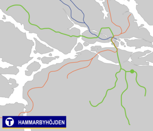
Hammarbyhöjden metro station is on the green line of the Stockholm metro, located in Hammarbyhöjden, Söderort. The station was inaugurated on 17 April 1958 as the east terminus of a one-station extension from Skärmarbrink. On 18 November 1958 an extension to Bagarmossen was opened.[2] The distance to Slussen is 3.8 km (2.4 mi).
The station is located above ground and has two entrances. The north entrance is located near Finn Malmgrens Plan. The south entrance is accessed from Ulricehamnsvägen.
The decoration of the station is the smallest of the metro system: A 30x40 cm brick embossment depicting a goat.
References
- ^ "Fakta om SL och regionen 2019" (PDF) (in Swedish). Storstockholms Lokaltrafik. p. 51. Archived (PDF) from the original on 27 December 2020. Retrieved 29 March 2021.
- ^ Schwandl, Robert. "Stockholm". urbanrail.

