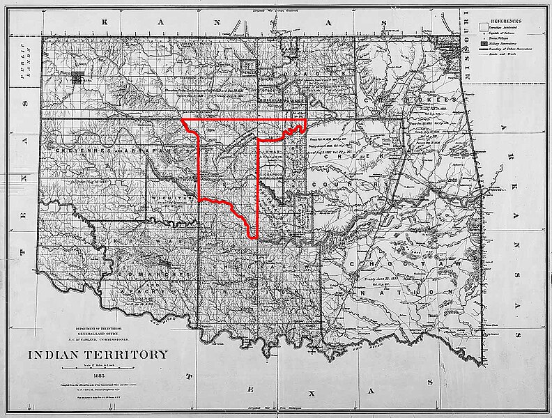
File:Unassigned Lands 1885.jpg

Size of this preview: 792 × 600 pixels. Other resolutions: 317 × 240 pixels | 634 × 480 pixels | 1,015 × 768 pixels | 1,321 × 1,000 pixels.
Original file (1,321 × 1,000 pixels, file size: 492 KB, MIME type: image/jpeg)
File history
Click on a date/time to view the file as it appeared at that time.
| Date/Time | Thumbnail | Dimensions | User | Comment | |
|---|---|---|---|---|---|
| current | 06:32, 22 April 2014 |  | 1,321 × 1,000 (492 KB) | Michbich | higher resolution version from http://upload.wikimedia.org/wikipedia/commons/5/5f/IndianTerritory1885.jpg |
| 22:39, 17 April 2008 |  | 400 × 302 (41 KB) | File Upload Bot (Magnus Manske) | {{BotMoveToCommons|en.wikipedia}} {{Information |Description={{en|Map of Unassigned Lands (Oklahoma) - 1885 '''Source:''' http://www.archives.gov/digital_classroom/lessons/federal_indian_policy/federal_indian_policy.html, federal government site, public |
File usage
The following 4 pages use this file:
Global file usage
The following other wikis use this file:
- Usage on azb.wikipedia.org
- Usage on de.wikipedia.org
- Usage on es.wikipedia.org
- Usage on it.wikipedia.org
- Usage on www.wikidata.org
- Usage on zh.wikipedia.org

