File:Southern Whidbey Island fault-1.png
Southern_Whidbey_Island_fault-1.png (406 × 361 pixels, file size: 657 KB, MIME type: image/png)
File history
Click on a date/time to view the file as it appeared at that time.
| Date/Time | Thumbnail | Dimensions | User | Comment | |
|---|---|---|---|---|---|
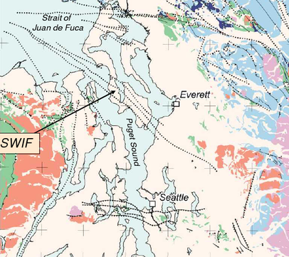
| current | 19:39, 5 June 2010 |  | 406 × 361 (657 KB) | J. Johnson | {{Information |Description={{en|1=Location and known extent (prior to 2004) of the Southern Widbey Island Fault zone (SWIF) and various other unlabeled faults in the eastern Strait of Juan de Fuca and northern Puget Sound region (Washington). }} |Source=h |
File usage
The following page uses this file:
Global file usage
The following other wikis use this file:
- Usage on de.wikipedia.org


