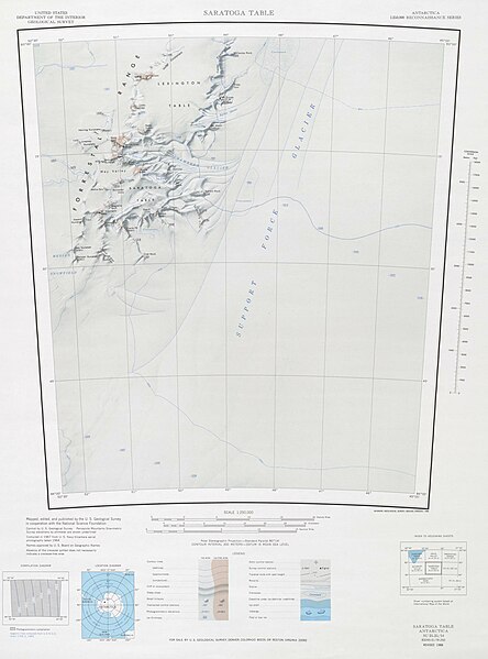
File:Saratoga Table USGS.jpg

Size of this preview: 444 × 599 pixels. Other resolutions: 178 × 240 pixels | 356 × 480 pixels | 569 × 768 pixels | 759 × 1,024 pixels | 1,518 × 2,048 pixels | 2,619 × 3,532 pixels.
Original file (2,619 × 3,532 pixels, file size: 540 KB, MIME type: image/jpeg)
File history
Click on a date/time to view the file as it appeared at that time.
| Date/Time | Thumbnail | Dimensions | User | Comment | |
|---|---|---|---|---|---|
| current | 13:02, 22 March 2024 |  | 2,619 × 3,532 (540 KB) | Aymatth2 | Cropped white space from left and right |
| 13:28, 19 January 2024 |  | 4,096 × 3,532 (716 KB) | Aymatth2 | Uploaded a work by USGS from https://data.pgc.umn.edu/maps/antarctica/usgs/03/preview/Saratoga%20Table.jpg with UploadWizard |
File usage
The following 4 pages use this file:

