
File:Road on Pinnockshill - geograph.org.uk - 710490.jpg
Size of this preview: 450 × 600 pixels. Other resolutions: 180 × 240 pixels | 480 × 640 pixels.
Original file (480 × 640 pixels, file size: 86 KB, MIME type: image/jpeg)
Summary
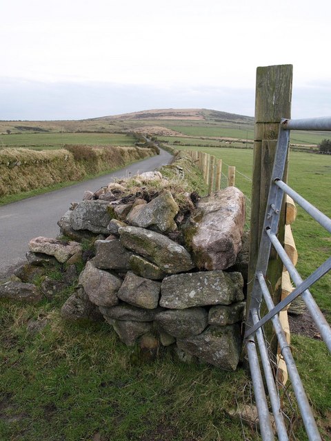
| Description | English: Road on Pinnockshill The road runs right along the eastern side of Colliford Lake. Here it crosses a low hill near the northeastern corner of the reservoir. The rounded hill in the background is Brown Gelly, in SX1972. |
| Date | |
| Source | From geograph.org.uk |
| Author | Derek Harper |
| Attribution (required by the license) | Derek Harper / Road on Pinnockshill / |
| Camera location | | View this and other nearby images on: OpenStreetMap |
|---|
_heading:157.00&language=en)
| Object location | | View this and other nearby images on: OpenStreetMap |
|---|
_heading:157.00&language=en)
Licensing

|
This image was taken from the Geograph project collection. See this photograph's page on the Geograph website for the photographer's contact details. The copyright on this image is owned by Derek Harper and is licensed for reuse under the Creative Commons Attribution-ShareAlike 2.0 license. |
This file is licensed under the Creative Commons Attribution-Share Alike 2.0 Generic license.
Attribution: Derek Harper
- You are free:
- to share – to copy, distribute and transmit the work
- to remix – to adapt the work
- Under the following conditions:
- attribution – You must give appropriate credit, provide a link to the license, and indicate if changes were made. You may do so in any reasonable manner, but not in any way that suggests the licensor endorses you or your use.
- share alike – If you remix, transform, or build upon the material, you must distribute your contributions under the same or compatible license as the original.
File history
Click on a date/time to view the file as it appeared at that time.
| Date/Time | Thumbnail | Dimensions | User | Comment | |
|---|---|---|---|---|---|
| current | 02:14, 19 February 2011 | | 480 × 640 (86 KB) | GeographBot | == {{int:filedesc}} == {{Information |description={{en|1=Road on Pinnockshill The road runs right along the eastern side of Colliford Lake. Here it crosses a low hill near the northeastern corner of the reservoir. The rounded hill in the background is Bro |
File usage
The following page uses this file: