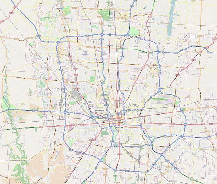
File:Map Columbus (Ohio).jpg

Size of this preview: 707 × 599 pixels. Other resolutions: 283 × 240 pixels | 566 × 480 pixels | 906 × 768 pixels | 1,208 × 1,024 pixels | 2,165 × 1,835 pixels.
Original file (2,165 × 1,835 pixels, file size: 1.06 MB, MIME type: image/jpeg)
File history
Click on a date/time to view the file as it appeared at that time.
| Date/Time | Thumbnail | Dimensions | User | Comment | |
|---|---|---|---|---|---|
| current | 18:59, 28 August 2014 |  | 2,165 × 1,835 (1.06 MB) | XIIIfromTOKYO | User created page with UploadWizard |
File usage
The following 7 pages use this file:
Global file usage
The following other wikis use this file:
- Usage on fr.wikipedia.org
- Nationwide Arena
- Historic Crew Stadium
- Cooper Stadium
- Huntington Park (Columbus, Ohio)
- Aéroport international John Glenn Columbus
- LeVeque Tower
- William Green Building
- Vern Riffe State Office Tower
- Franklin County Courthouse
- Three Nationwide Plaza
- One Columbus Center
- Capitole de l'État de l'Ohio
- Modèle:Géolocalisation/Columbus
- Jesse Owens Memorial Stadium
- Lower.com Field
- Usage on ja.wikipedia.org
- Usage on si.wikipedia.org
- Usage on vep.wikipedia.org
