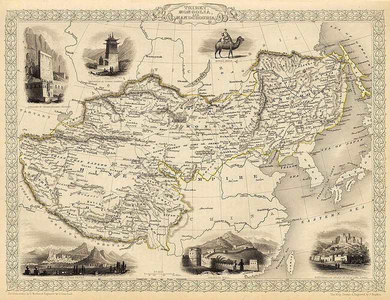
File:John-Tallis-1851-Tibet-Mongolia-and-Manchuria-33621.jpg

Size of this preview: 779 × 600 pixels. Other resolutions: 312 × 240 pixels | 624 × 480 pixels | 998 × 768 pixels | 1,280 × 985 pixels | 2,560 × 1,971 pixels | 4,030 × 3,102 pixels.
Original file (4,030 × 3,102 pixels, file size: 12.64 MB, MIME type: image/jpeg)
File history
Click on a date/time to view the file as it appeared at that time.
| Date/Time | Thumbnail | Dimensions | User | Comment | |
|---|---|---|---|---|---|
| current | 20:51, 28 February 2016 |  | 4,030 × 3,102 (12.64 MB) | Centpacrr | Crop |
| 02:26, 7 December 2009 |  | 4,700 × 3,750 (4.07 MB) | Vmenkov | better resolution, as available from http://www.davidrumsey.com/luna/servlet/detail/RUMSEY~8~1~821~60126:Thibet,-Mongolia,-and-Mandchouria-- | |
| 01:38, 7 December 2009 |  | 1,289 × 989 (386 KB) | Vmenkov | {{Information |Description={{en|1=Map of the northern and western part of the Chinese Empire - "Thibet, Mongolia, and Mandchouria". The borders are shows as per the 1858 treaty of Aigun. The main Russian center in Transbaikalia is still Nerchinsk, rather |
File usage
The following 6 pages use this file:
Global file usage
The following other wikis use this file:
- Usage on ar.wikipedia.org
- Usage on el.wikipedia.org
- Usage on fr.wikipedia.org
- Usage on hr.wikipedia.org
- Usage on ko.wikipedia.org
- Usage on mn.wikipedia.org
- Usage on sh.wikipedia.org
- Usage on vi.wikipedia.org
