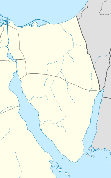
File:Egypt Sinai location map.svg

Size of this PNG preview of this SVG file: 376 × 600 pixels. Other resolutions: 150 × 240 pixels | 301 × 480 pixels | 481 × 768 pixels | 642 × 1,024 pixels | 1,284 × 2,048 pixels | 499 × 796 pixels.
Original file (SVG file, nominally 499 × 796 pixels, file size: 219 KB)
File history
Click on a date/time to view the file as it appeared at that time.
| Date/Time | Thumbnail | Dimensions | User | Comment | |
|---|---|---|---|---|---|
| current | 19:12, 23 February 2010 |  | 499 × 796 (219 KB) | NordNordWest | =={{int:filedesc}}== {{Information |Description= {{de|Positionskarte der Sinai-Halbinsel, Ägypten}} Quadratische Plattkarte, N-S-Streckung 115 %. Geographische Begrenzung der Karte: * N: 31.7° N * S: 27.4° N * W |
File usage
The following 27 pages use this file:
- 2016 Arish attack
- 2017 Sinai mosque attack
- August 2012 Sinai attack
- Battle of Magdhaba
- Blue Hole (Red Sea)
- Coloured Canyon
- Dahab
- El Arish International Airport
- January 2015 Sinai attacks
- July 2015 Sinai clashes
- Nahal Ofir
- Nahal Yam
- October 2014 Sinai attacks
- Port Said Airport
- Ras Sedr massacre
- Saint Catherine's Monastery
- Sharm El Sheikh
- Sharm El Sheikh International Airport
- Sheikh Zuweid
- St. Catherine International Airport
- Taba International Airport
- USS Liberty incident
- Wikipedia:Graphics Lab/Map workshop/Archive/Mar 2020
- Template:Sinai insurgency detailed map
- Module:Location map/data/Egypt Sinai
- Module:Location map/data/Egypt Sinai/doc
- Module:Sinai insurgency detailed map/doc
Global file usage
The following other wikis use this file:
- Usage on ar.wikipedia.org
- Usage on azb.wikipedia.org
- Usage on az.wikipedia.org
- Usage on ba.wikipedia.org
- Usage on bg.wikipedia.org
- Usage on bh.wikipedia.org
- Usage on ceb.wikipedia.org
- Usage on ckb.wikipedia.org
- Usage on cs.wikipedia.org
- Usage on da.wikipedia.org
- Usage on de.wikipedia.org
- Usage on de.wikivoyage.org
View more global usage of this file.


