
File:Surface map of the United States October 30 1991.png
Size of this preview: 768 × 599 pixels. Other resolutions: 308 × 240 pixels | 615 × 480 pixels | 984 × 768 pixels | 1,138 × 888 pixels.
Original file (1,138 × 888 pixels, file size: 2.07 MB, MIME type: image/png)
Summary
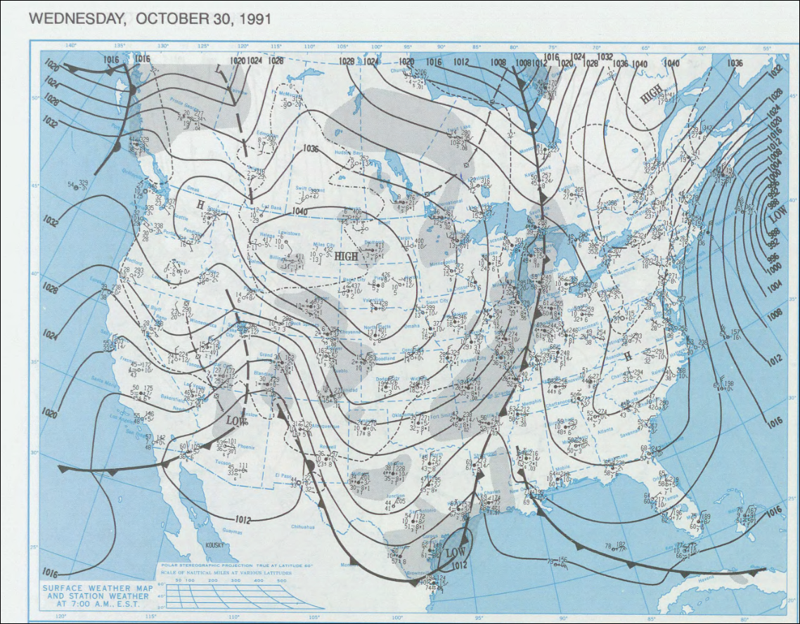
| Description | English: Surface map of the United States on October 30, 1991
http://docs.lib.noaa.gov/rescue/dwm/1991 |
| Source | NOAA |
| Author | NOAA |
Licensing
This image is in the public domain because it contains materials that originally came from the U.S. National Oceanic and Atmospheric Administration, taken or made as part of an employee's official duties.
|
Original upload log
The original description page was here. All following user names refer to en.wikipedia.
Upload date | User | Bytes | Dimensions | Comment
- 2007-09-03 20:51 (UTC) | WxGopher | 2170097 (bytes) | 1138×888 | ==Summary== Surface map of the United States on [[October 30]], [[1999]] http://docs.lib.noaa.gov/rescue/dwm/1991 ==Licensing== {{PD-USGov-NOAA}} [[Category:Minnesota maps]]
File history
Click on a date/time to view the file as it appeared at that time.
| Date/Time | Thumbnail | Dimensions | User | Comment | |
|---|---|---|---|---|---|
| current | 18:10, 17 September 2011 | | 1,138 × 888 (2.07 MB) | SreeBot | (Original text) : ==Summary== Surface map of the United States on October 30, 1999 http://docs.lib.noaa.gov/rescue/dwm/1991 ==Licensing== {{PD-USGov-NOAA}} Category:Minnesota maps |
File usage
The following 2 pages use this file:
Global file usage
The following other wikis use this file:
- Usage on he.wikipedia.org