
File:Polhill Tunnel geograph-2386596-by-Ben-Brooksbank.jpg

Size of this preview: 800 × 578 pixels. Other resolutions: 320 × 231 pixels | 640 × 462 pixels | 1,024 × 740 pixels | 1,280 × 925 pixels | 2,006 × 1,449 pixels.
Original file (2,006 × 1,449 pixels, file size: 786 KB, MIME type: image/jpeg)
Summary
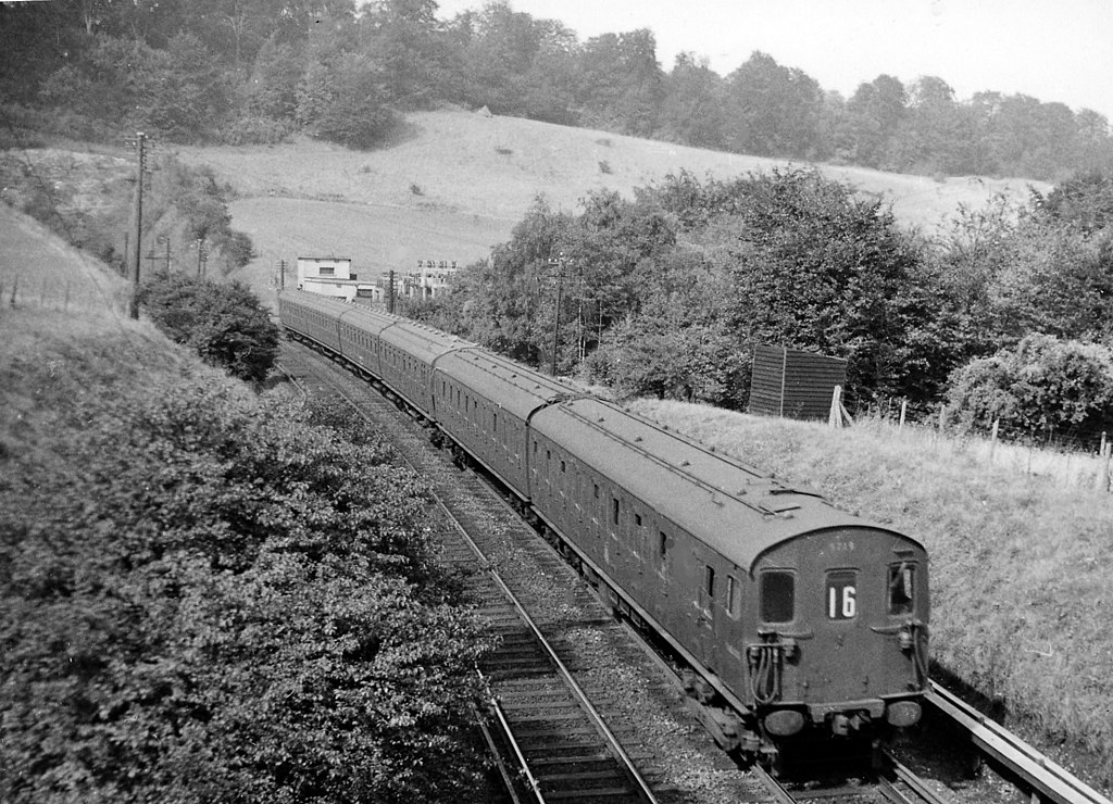
| Description | English: Down local electric train leaving Polhill Tunnel. View northward towards Polhill Tunnel and London; ex-South Eastern Charing Cross/Cannon Street - Tonbridge - Ashford - Folkestone - Dover main line. The train is a local to Sevenoaks, formed of 2-EPB EMU's. |
| Date | Taken on 4 September 1958 |
| Source | From geograph.org.uk |
| Author | Ben Brooksbank |
| Permission (Reusing this file) |
Creative Commons Attribution Share-alike license 2.0 |
| Camera location | | View this and other nearby images on: OpenStreetMap |
|---|
Licensing

|
This image was taken from the Geograph project collection. See this photograph's page on the Geograph website for the photographer's contact details. The copyright on this image is owned by Ben Brooksbank and is licensed for reuse under the Creative Commons Attribution-ShareAlike 2.0 license. |
This file is licensed under the Creative Commons Attribution-Share Alike 2.0 Generic license.
Attribution: Ben Brooksbank
- You are free:
- to share – to copy, distribute and transmit the work
- to remix – to adapt the work
- Under the following conditions:
- attribution – You must give appropriate credit, provide a link to the license, and indicate if changes were made. You may do so in any reasonable manner, but not in any way that suggests the licensor endorses you or your use.
- share alike – If you remix, transform, or build upon the material, you must distribute your contributions under the same or compatible license as the original.
File history
Click on a date/time to view the file as it appeared at that time.
| Date/Time | Thumbnail | Dimensions | User | Comment | |
|---|---|---|---|---|---|
| current | 10:29, 11 May 2011 | | 2,006 × 1,449 (786 KB) | Chevin | == {{int:filedesc}} == {{Information |Description={{en|1=Down local electric train leaving Polhill Tunnel View northward towards Polhill Tunnel and London; ex-South Eastern Charing Cross/Cannon Street - Tonbridge - Ashford - Folkestone - Dover main line. |
File usage
The following page uses this file: