
File:Pivot Point historical marker.jpg

Size of this preview: 800 × 600 pixels. Other resolutions: 320 × 240 pixels | 640 × 480 pixels | 1,024 × 768 pixels | 1,280 × 960 pixels | 2,560 × 1,920 pixels | 2,816 × 2,112 pixels.
Original file (2,816 × 2,112 pixels, file size: 3.31 MB, MIME type: image/jpeg)
| Camera location | | View this and other nearby images on: OpenStreetMap |
|---|
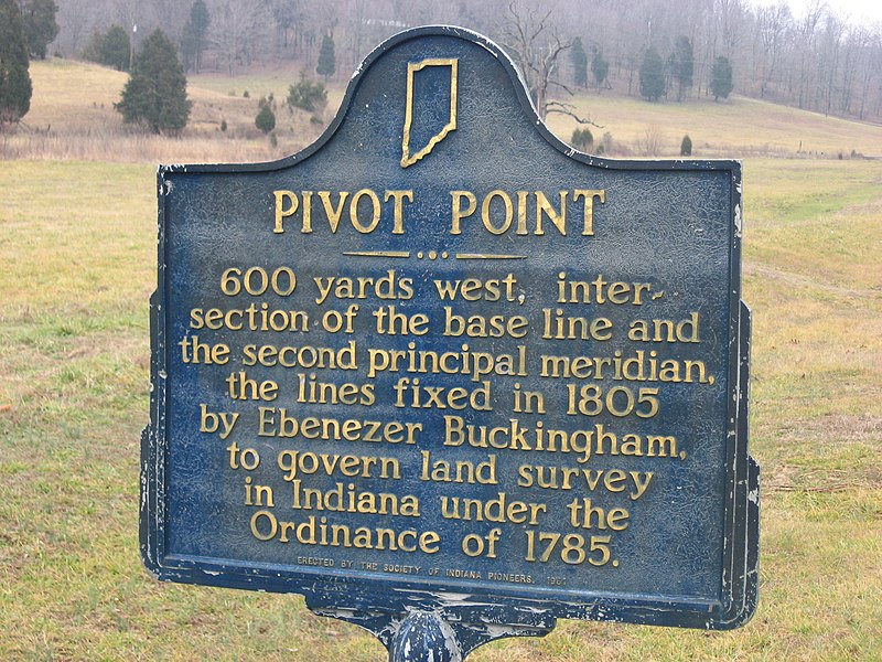
| Description | English: A historical marker at Pine Valley in Southeast Township, Orange County, Indiana, United States. Placed in 1961, it is located on the eastern side of State Road 37 at its junction with Pivot Point Road, about 6.5 miles south of Paoli. |
|||||
| Date | Taken on 27 January 2012 | |||||
| Source | Own work | |||||
| Author | Nyttend | |||||
| Permission (Reusing this file) |
Plaque and photo respectively:
|

File history
Click on a date/time to view the file as it appeared at that time.
| Date/Time | Thumbnail | Dimensions | User | Comment | |
|---|---|---|---|---|---|
| current | 23:06, 10 March 2012 | | 2,816 × 2,112 (3.31 MB) | Nyttend | {{Location|38|28|10.4|N|86|26|57.6|W|W}} {{Information |Description={{en|A historical marker at {{w|Pine Valley, Indiana|Pine Valley}} in {{w|Southeast Township, Orange County, Indiana|Southeast Township}}, {{w|Orange County, Indiana|Orange County}}, {... |
File usage
The following 4 pages use this file:
Global file usage
The following other wikis use this file:
- Usage on fr.wikipedia.org