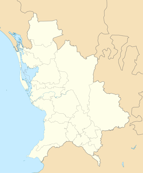
File:Mexico Nayarit location map.svg

Size of this PNG preview of this SVG file: 497 × 600 pixels. Other resolutions: 199 × 240 pixels | 398 × 480 pixels | 636 × 768 pixels | 849 × 1,024 pixels | 1,697 × 2,048 pixels | 1,553 × 1,874 pixels.
Original file (SVG file, nominally 1,553 × 1,874 pixels, file size: 194 KB)
File history
Click on a date/time to view the file as it appeared at that time.
| Date/Time | Thumbnail | Dimensions | User | Comment | |
|---|---|---|---|---|---|
| current | 19:22, 7 August 2011 |  | 1,553 × 1,874 (194 KB) | Battroid | == Summary == {{Information |Description={{en|1=Location Map of Nayarit Equirectangular projection, Geographic limits of the map: * N: 23.30° N * S: 20.50° N * W: 106.00° W * E: 103.50° W}} |Source={{own}} |Author=[[User:Addicted04|Add |
| 01:07, 6 January 2011 |  | 1,553 × 1,874 (193 KB) | Addicted04 | {{Information |Description={{en|1=Location Map of Nayarit Equirectangular projection, Geographic limits of the map: * N: 23.30° N * S: 20.50° N * W: 106.00° W * E: 103.50° W}} |Source={{own}} |Author=Addicted04 |Dat |
File usage
The following 8 pages use this file:
Global file usage
The following other wikis use this file:
- Usage on ar.wikipedia.org
- Usage on ba.wikipedia.org
- Usage on bg.wikipedia.org
- Usage on ceb.wikipedia.org
- Usage on ce.wikipedia.org
- Usage on de.wikipedia.org
- Usage on eo.wikipedia.org
- Usage on es.wikipedia.org
- Tepic
- San Blas (Nayarit)
- Compostela (Nayarit)
- Mexcaltitán
- El Nuevo Mexcaltitán
- Quiviquinta
- San Andrés Milpillas
- El Zonteco
- Palmar de Cuautla
- San Miguel Número Dos
- Aztlán de las Garzas
- El Mezcal
- Santiago Ixcuintla
- Pozo de Ibarra
- Villa Juárez (Nayarit)
- La Presa (Nayarit)
- El Contadero
- Estación Yago
- El Tesorero
- Villa Hidalgo (Nayarit)
- Mesa de los Ricos
- Aeropuerto Internacional Amado Nervo
- La Yesca
- Huajicori
- Ahuacatlán (Nayarit)
- Anexo:Patrimonio de la Humanidad en México
View more global usage of this file.
