
File:Jiza Hejaz Railway Station (2).jpg

Size of this preview: 800 × 533 pixels. Other resolutions: 320 × 213 pixels | 640 × 427 pixels | 1,024 × 683 pixels | 1,280 × 854 pixels | 2,500 × 1,667 pixels.
Original file (2,500 × 1,667 pixels, file size: 1.06 MB, MIME type: image/jpeg)
Summary
| Hedjaz Railway
|
||||
|---|---|---|---|---|
| Author |  | |||
| Title | Hedjaz Railway |
|||
| Object type |
railway line |
|||
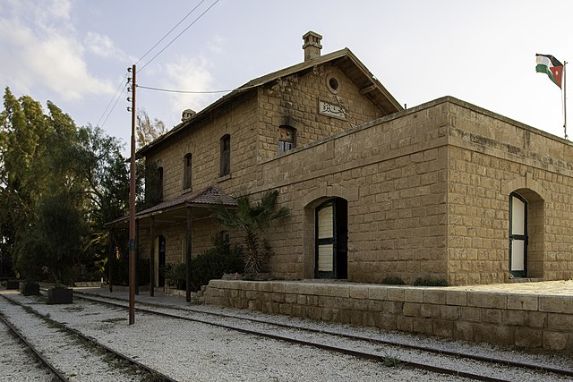
| Description | English: Jiza Hejaz Railway Station (2) |
|||
| Date | 19 April 2013, 18:27:30 | |||
| Dimensions |
length: 1,320 km (820.2 mi) |
|||
| Object location |
|
|||
| References |
Sytin Military Encyclopedia, Q25375114 |
|||
| Authority file | ||||
| Source | Bashar Tabbah | |||
| Permission (Reusing this file) |
|
|||
.jpg¶ms=032.629800_N_0036.103700_E_globe:Earth_class:object_type:object__&language=en)
| Camera location | | View this and other nearby images on: OpenStreetMap |
|---|
.jpg¶ms=031.711470_N_0035.961890_E_globe:Earth_type:camera__&language=en)
Licensing
This file is licensed under the Creative Commons Attribution-Share Alike 4.0 International license.
- You are free:
- to share – to copy, distribute and transmit the work
- to remix – to adapt the work
- Under the following conditions:
- attribution – You must give appropriate credit, provide a link to the license, and indicate if changes were made. You may do so in any reasonable manner, but not in any way that suggests the licensor endorses you or your use.
- share alike – If you remix, transform, or build upon the material, you must distribute your contributions under the same or compatible license as the original.
File history
Click on a date/time to view the file as it appeared at that time.
| Date/Time | Thumbnail | Dimensions | User | Comment | |
|---|---|---|---|---|---|
| current | 12:49, 14 October 2019 | | 2,500 × 1,667 (1.06 MB) | Basateen | User created page with UploadWizard |
File usage
The following page uses this file:
Global file usage
The following other wikis use this file:
- Usage on ar.wikipedia.org
- Usage on hu.wikipedia.org
.jpg)