
File:Highway 5 near Clappison's Corners, 1955.png
Size of this preview: 800 × 558 pixels. Other resolutions: 320 × 223 pixels | 640 × 446 pixels | 1,024 × 714 pixels | 1,219 × 850 pixels.
Original file (1,219 × 850 pixels, file size: 1.99 MB, MIME type: image/png)
Summary
| Description |
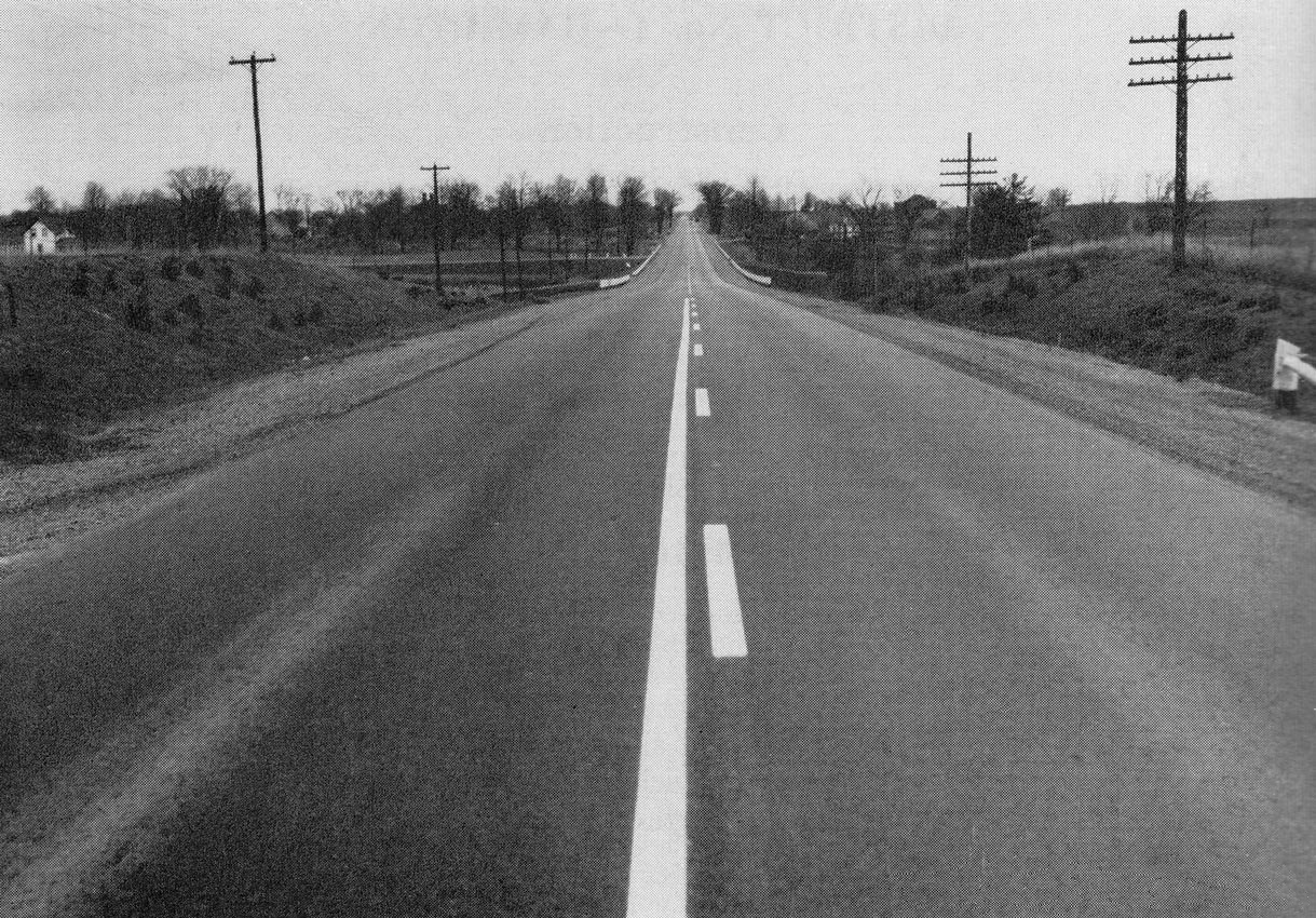
Early example of "zone striping" on Ontario Highway 5 in 1955, near Clappison's Corners |
|---|---|
| Source |
Annual Report for the Department of Highways of Ontario for the Fiscal Year Ending March 31, 1956. Page 50. |
| Date |
circa 1955 |
| Author |
Department of Highways of Ontario |
| Permission (Reusing this file) |
|
File history
Click on a date/time to view the file as it appeared at that time.
| Date/Time | Thumbnail | Dimensions | User | Comment | |
|---|---|---|---|---|---|
| current | 02:25, 20 May 2022 | | 1,219 × 850 (1.99 MB) | Floydian (talk | contribs) | better version |
| 00:10, 20 May 2022 |  | 2,733 × 1,841 (5.16 MB) | Floydian (talk | contribs) | == Summary == {{Information | description = Early example of "zone striping" on Ontario Highway 5 in 1955, near Clappison's Corners | source = Annual Report for the Department of Highways of Ontario for the Fiscal Year Ending March 31, 1956. Page 50. | date = circa 1955 | author = Department of Highways of Ontario | permission = {{PD-Canada-Crown}} | other_versions = }} {{Keep local}} |
You cannot overwrite this file.
File usage
The following file is a duplicate of this file (more details):
- File:Highway 5 near Clappison's Corners, 1955.png from Commons
The following page uses this file: