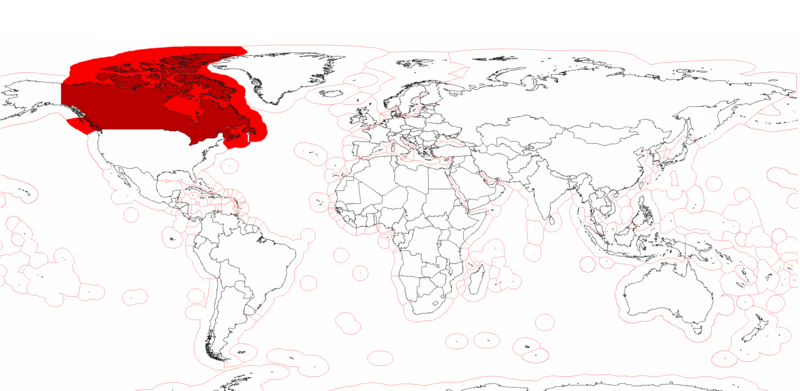
File:Canada Exclusive Economic Zone.PNG

Size of this preview: 800 × 391 pixels. Other resolutions: 320 × 156 pixels | 640 × 313 pixels | 1,024 × 501 pixels | 1,280 × 626 pixels | 2,410 × 1,178 pixels.
Original file (2,410 × 1,178 pixels, file size: 155 KB, MIME type: image/png)
File history
Click on a date/time to view the file as it appeared at that time.
| Date/Time | Thumbnail | Dimensions | User | Comment | |
|---|---|---|---|---|---|
| current | 14:56, 25 July 2020 |  | 2,410 × 1,178 (155 KB) | Maphobbyist | Added the borders of South Sudan and Montengro, and the Sea of Okhotsk is now wholly within the Russian EEZ. |
| 20:15, 4 May 2009 |  | 2,410 × 1,178 (182 KB) | Pyrophobe | {{Information |Description={{en|1=Canadas's Exclusive Economic Zones. }} |Source=Own work by uploader |Author=Pyrophobe |Date=2009/05/04 |Permission= |other_versions= }} <!--{{ImageUpload|full}}--> |
File usage
The following 3 pages use this file:
Global file usage
The following other wikis use this file:
- Usage on af.wikipedia.org
- Usage on fr.wikipedia.org
- Usage on he.wikipedia.org
- Usage on kn.wikipedia.org
- Usage on pt.wikipedia.org
- Usage on sk.wikipedia.org
- Usage on th.wikipedia.org

