
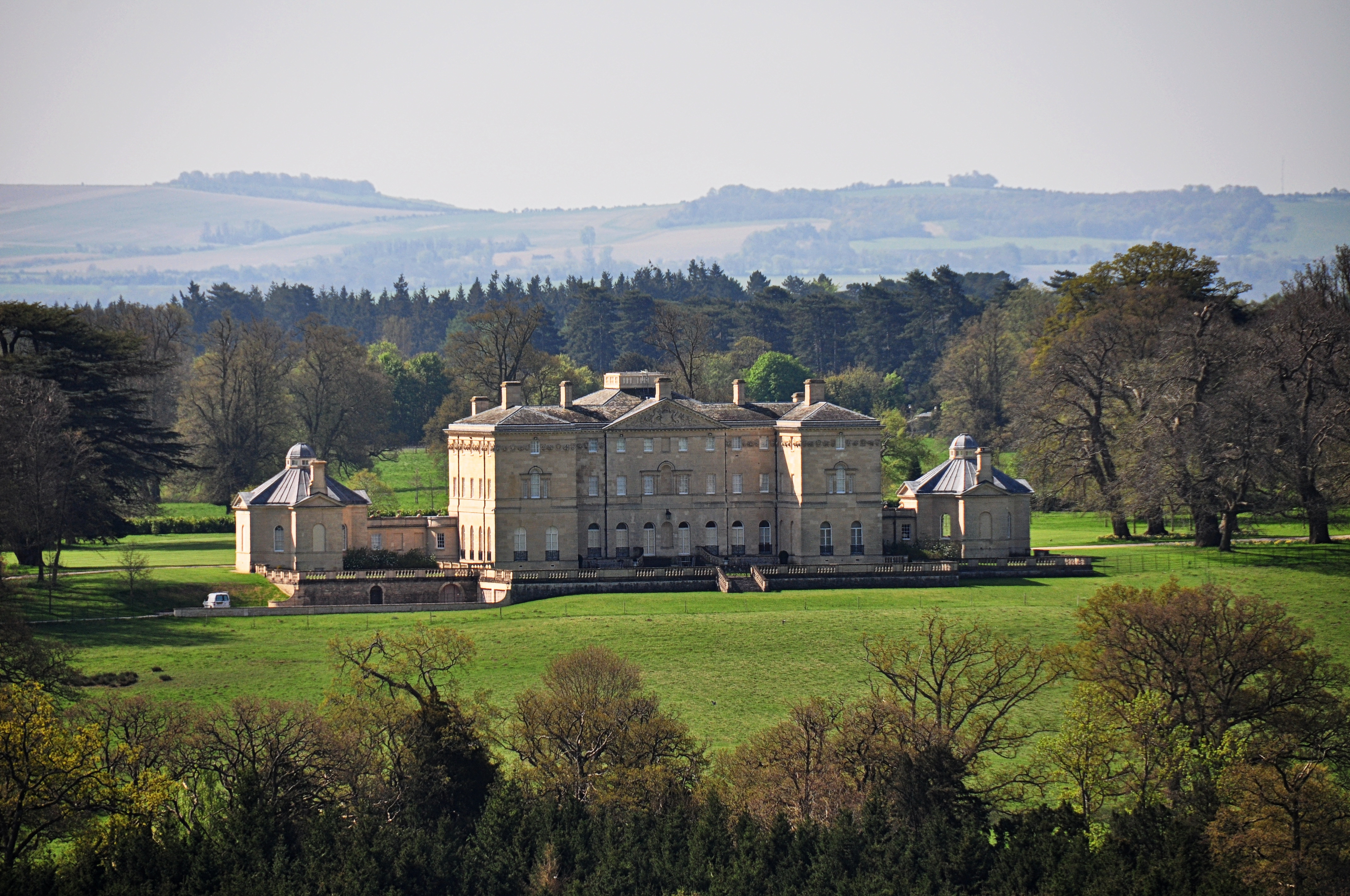
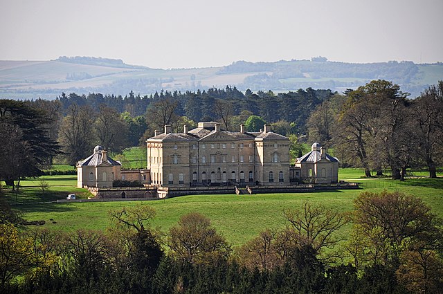
File:Buckland House, Buckland (geograph 3448074).jpg
Size of this preview: 800 × 531 pixels. Other resolutions: 320 × 213 pixels | 640 × 425 pixels | 1,024 × 680 pixels | 1,280 × 850 pixels | 2,560 × 1,700 pixels | 4,288 × 2,848 pixels.
Original file (4,288 × 2,848 pixels, file size: 4.09 MB, MIME type: image/jpeg)
Summary
| Description | English: Buckland House, Buckland, Oxfordshire (formerly Berkshire) |
| Date | |
| Source | From geograph.org.uk |
| Author | Dave Price |
| Permission (Reusing this file) |
Creative Commons Attribution Share-alike license 2.0 |
| Attribution (required by the license) | Dave Price / Buckland House, Buckland / |
| Camera location | | View this and other nearby images on: OpenStreetMap |
|---|
.jpg¶ms=051.689276_N_-001.510561_E_globe:Earth_type:camera_heading:180.00_source:geograph&language=en)
| Object location | | View this and other nearby images on: OpenStreetMap |
|---|
.jpg¶ms=051.681670_N_-001.509000_E_globe:Earth_class:object_type:object_source:geograph-osgb36(SU34049821)_region:GB-GBN_heading:180.00&language=en)
Licensing

|
This image was taken from the Geograph project collection. See this photograph's page on the Geograph website for the photographer's contact details. The copyright on this image is owned by Dave Price and is licensed for reuse under the Creative Commons Attribution-ShareAlike 2.0 license. |
This file is licensed under the Creative Commons Attribution-Share Alike 2.0 Generic license.
Attribution: Dave Price
- You are free:
- to share – to copy, distribute and transmit the work
- to remix – to adapt the work
- Under the following conditions:
- attribution – You must give appropriate credit, provide a link to the license, and indicate if changes were made. You may do so in any reasonable manner, but not in any way that suggests the licensor endorses you or your use.
- share alike – If you remix, transform, or build upon the material, you must distribute your contributions under the same or compatible license as the original.
File history
Click on a date/time to view the file as it appeared at that time.
| Date/Time | Thumbnail | Dimensions | User | Comment | |
|---|---|---|---|---|---|
| current | 18:13, 7 May 2016 | | 4,288 × 2,848 (4.09 MB) | Adam37 | Transferred from geograph.co.uk using [https://tools.wmflabs.org/geograph2commons/ geograph2commons] |
File usage
The following 3 pages use this file:
Global file usage
The following other wikis use this file:
- Usage on es.wikipedia.org
- Usage on fa.wikipedia.org
.jpg)