
File:Battle of Slaters knoll 1942 s.jpg

No higher resolution available.
Battle_of_Slaters_knoll_1942_s.jpg (220 × 300 pixels, file size: 77 KB, MIME type: image/jpeg)
Summary
| Description |
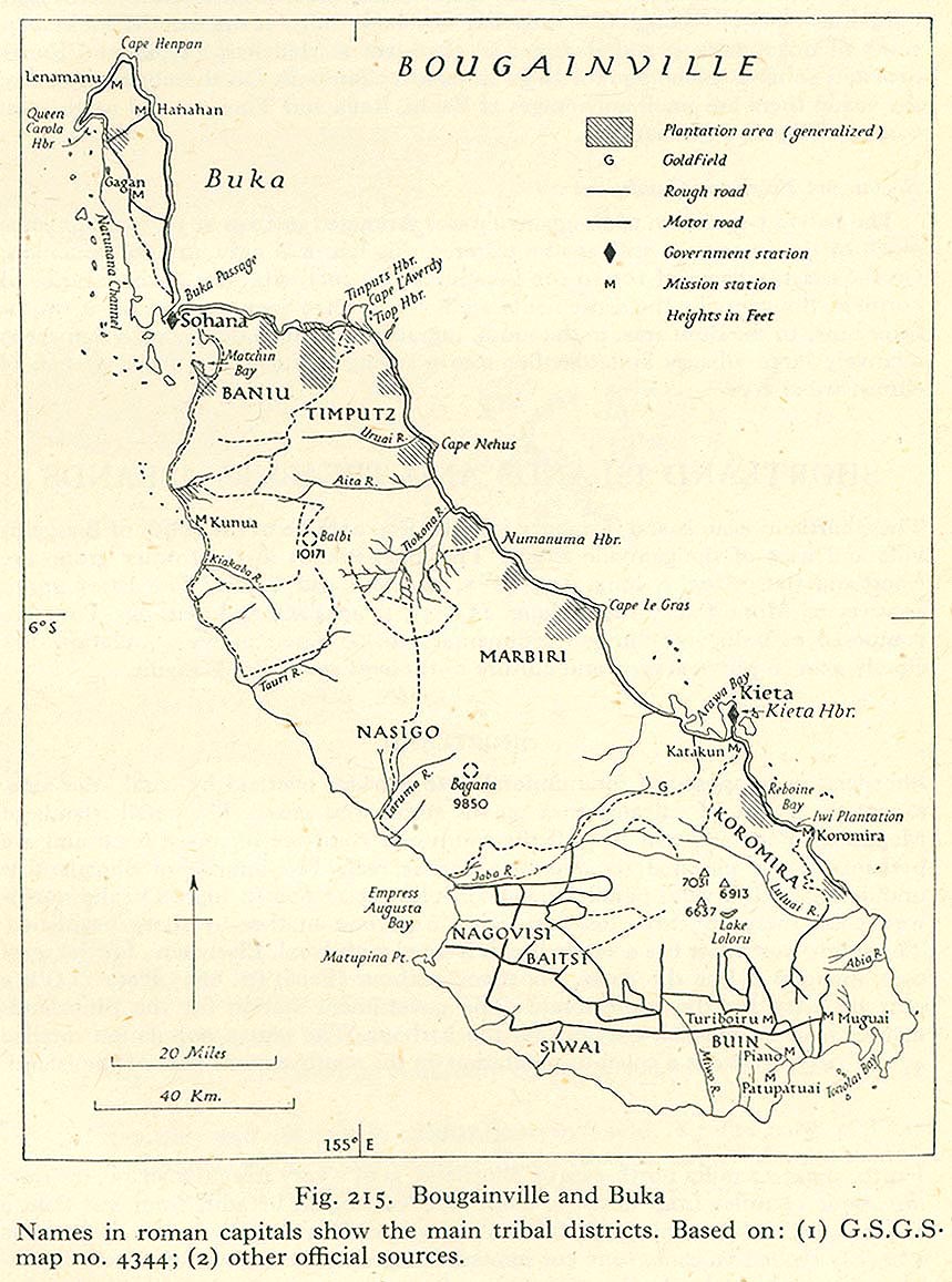
Map of south west Bouganville island, location of the Battle of Slater's Knoll in 1945. |
|---|---|
| Source |
Own work created in Adobe Fireworks
|
| Date |
2010-03-28 |
| Author |
Chris Rees User:SpoolWhippets |
| Permission (Reusing this file) |
See below.
|
Licensing
File history
Click on a date/time to view the file as it appeared at that time.
| Date/Time | Thumbnail | Dimensions | User | Comment | |
|---|---|---|---|---|---|
| current | 12:25, 29 March 2010 | | 220 × 300 (77 KB) | SpoolWhippets (talk | contribs) | consistency with bougainville map |
| 07:05, 29 March 2010 |  | 220 × 300 (77 KB) | SpoolWhippets (talk | contribs) | Better jpeg | |
| 07:04, 29 March 2010 |  | 220 × 300 (14 KB) | SpoolWhippets (talk | contribs) | == Summary == <br/>{{Information |Description=Map of south west Bouganville island, location of the Battle of Slater's Knoll in 1945. |Source=Own work created in Adobe Fireworks<br/> *Data sources: **Coastlines: File:Un-bougainville.png + http://www.lib.u |
You cannot overwrite this file.
File usage
The following 2 pages use this file: