
File:Atherton Town Hall - geograph.org.uk - 1548868.jpg
No higher resolution available.
Atherton_Town_Hall_-_geograph.org.uk_-_1548868.jpg (640 × 480 pixels, file size: 81 KB, MIME type: image/jpeg)
Summary
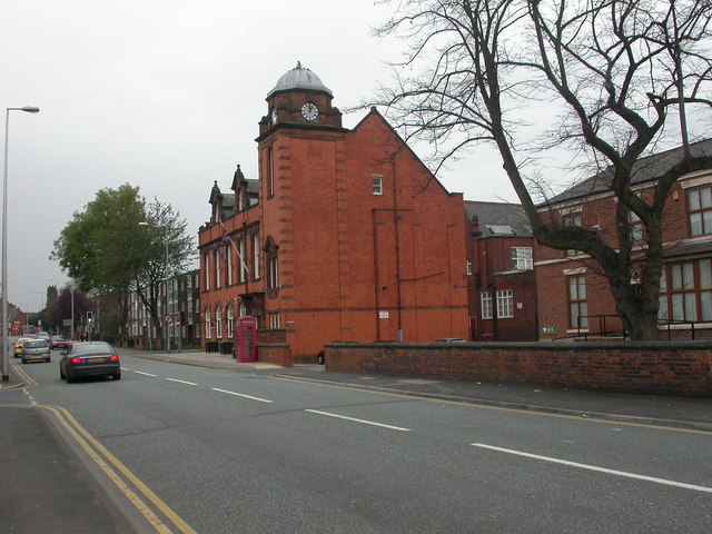
| Description | English: Atherton Town Hall On Bolton Road; seat of Atherton Urban District Council until 1974; now municipal buildings for Wigan MBC. |
| Date | |
| Source | From geograph.org.uk |
| Author | Mike Faherty |
| Attribution (required by the license) | Mike Faherty / Atherton Town Hall / |
| Camera location | | View this and other nearby images on: OpenStreetMap |
|---|
_heading:247.00&language=en)
| Object location | | View this and other nearby images on: OpenStreetMap |
|---|
_heading:247.00&language=en)
Licensing

|
This image was taken from the Geograph project collection. See this photograph's page on the Geograph website for the photographer's contact details. The copyright on this image is owned by Mike Faherty and is licensed for reuse under the Creative Commons Attribution-ShareAlike 2.0 license. |
This file is licensed under the Creative Commons Attribution-Share Alike 2.0 Generic license.
Attribution: Mike Faherty
- You are free:
- to share – to copy, distribute and transmit the work
- to remix – to adapt the work
- Under the following conditions:
- attribution – You must give appropriate credit, provide a link to the license, and indicate if changes were made. You may do so in any reasonable manner, but not in any way that suggests the licensor endorses you or your use.
- share alike – If you remix, transform, or build upon the material, you must distribute your contributions under the same or compatible license as the original.
File history
Click on a date/time to view the file as it appeared at that time.
| Date/Time | Thumbnail | Dimensions | User | Comment | |
|---|---|---|---|---|---|
| current | 09:07, 3 March 2011 | | 640 × 480 (81 KB) | GeographBot | == {{int:filedesc}} == {{Information |description={{en|1=Atherton Town Hall On Bolton Road; seat of Atherton Urban District Council until 1974; now municipal buildings for Wigan MBC.}} |date=2009-10-18 |source=From [http://www.geograph.org.uk/photo/154886 |
File usage
The following 2 pages use this file:
Global file usage
The following other wikis use this file:
- Usage on azb.wikipedia.org