Shepherd Mountain
| Shepherd Mountain | |
|---|---|
| Highest point | |
| Elevation | 1,598 ft (487 m) |
| Coordinates | 37°36′25″N 90°38′46″W / 37.60694°N 90.64611°W[1] |
| Geography | |
| Location | Iron County, Missouri, U.S. |
| Parent range | Saint Francois Mountains |
| Topo map | USGS Ironton |
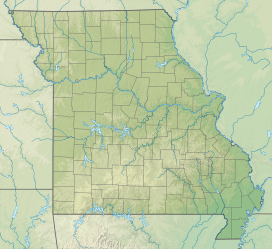
Shepherd Mountain is a summit in Iron County in the U.S. state of Missouri.[1] Shepherd Mountain lies just west of Ironton and Stouts Creek in the Arcadia Valley.[2]
Shepherd Mountain has the name of Forrest Shepherd, a geologist.[3] The mountain was the scene of action during the Battle of Fort Davidson.[4]
Shepherd Mountain is home to Shepherd Mountain Bike Park. A downhill mountain bike park with several trails to choose from. There are also several hiking trails.
References
- ^ a b U.S. Geological Survey Geographic Names Information System: Shepherd Mountain
- ^ Ironton, Missouri, 7.5 Minute Topographic Quadrangle, USGS, 1968
- ^ "Iron County Place Names, 1928–1945 (archived)". The State Historical Society of Missouri. Archived from the original on June 24, 2016. Retrieved October 12, 2016.
{{cite web}}: CS1 maint: bot: original URL status unknown (link) - ^ "The Battle of Pilot Knob State Historic Site". River Valley Region Association. Archived from the original on August 20, 2008. Retrieved October 12, 2016.

