
File:South from Roundway Hill - geograph.org.uk - 1369696.jpg
No higher resolution available.
South_from_Roundway_Hill_-_geograph.org.uk_-_1369696.jpg (640 × 459 pixels, file size: 169 KB, MIME type: image/jpeg)
Summary
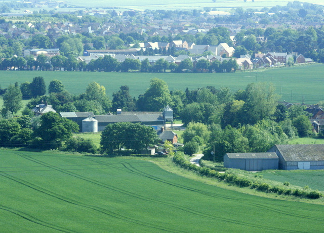
| Description | English: South from Roundway Hill Looking down on Roundway Hill Farm. The north east part of Devizes is beyond, straggling along the A361.
The crop in the foreground field is probably wheat. |
| Date | |
| Source | From geograph.org.uk |
| Author | Maurice Pullin |
| Camera location | | View this and other nearby images on: OpenStreetMap |
|---|
_heading:157.00&language=en)
| Object location | | View this and other nearby images on: OpenStreetMap |
|---|
_heading:157.00&language=en)
Licensing

|
This image was taken from the Geograph project collection. See this photograph's page on the Geograph website for the photographer's contact details. The copyright on this image is owned by Maurice Pullin and is licensed for reuse under the Creative Commons Attribution-ShareAlike 2.0 license. |
This file is licensed under the Creative Commons Attribution-Share Alike 2.0 Generic license.
Attribution: Maurice Pullin
- You are free:
- to share – to copy, distribute and transmit the work
- to remix – to adapt the work
- Under the following conditions:
- attribution – You must give appropriate credit, provide a link to the license, and indicate if changes were made. You may do so in any reasonable manner, but not in any way that suggests the licensor endorses you or your use.
- share alike – If you remix, transform, or build upon the material, you must distribute your contributions under the same or compatible license as the original.
File history
Click on a date/time to view the file as it appeared at that time.
| Date/Time | Thumbnail | Dimensions | User | Comment | |
|---|---|---|---|---|---|
| current | 12:23, 28 February 2011 | | 640 × 459 (169 KB) | GeographBot | == {{int:filedesc}} == {{Information |description={{en|1=South from Roundway Hill Looking down on Roundway Hill Farm. The north east part of Devizes is beyond, straggling along the A361. The crop in the foreground field is probably wheat.}} |date=2009-06 |
File usage
The following page uses this file:
Global file usage
The following other wikis use this file: