
File:Broch of Gurness in summer 2012 (19).JPG
Size of this preview: 800 × 533 pixels. Other resolutions: 320 × 213 pixels | 640 × 427 pixels | 1,024 × 683 pixels | 1,280 × 853 pixels | 2,560 × 1,707 pixels | 4,752 × 3,168 pixels.
Original file (4,752 × 3,168 pixels, file size: 6.18 MB, MIME type: image/jpeg)
Summary
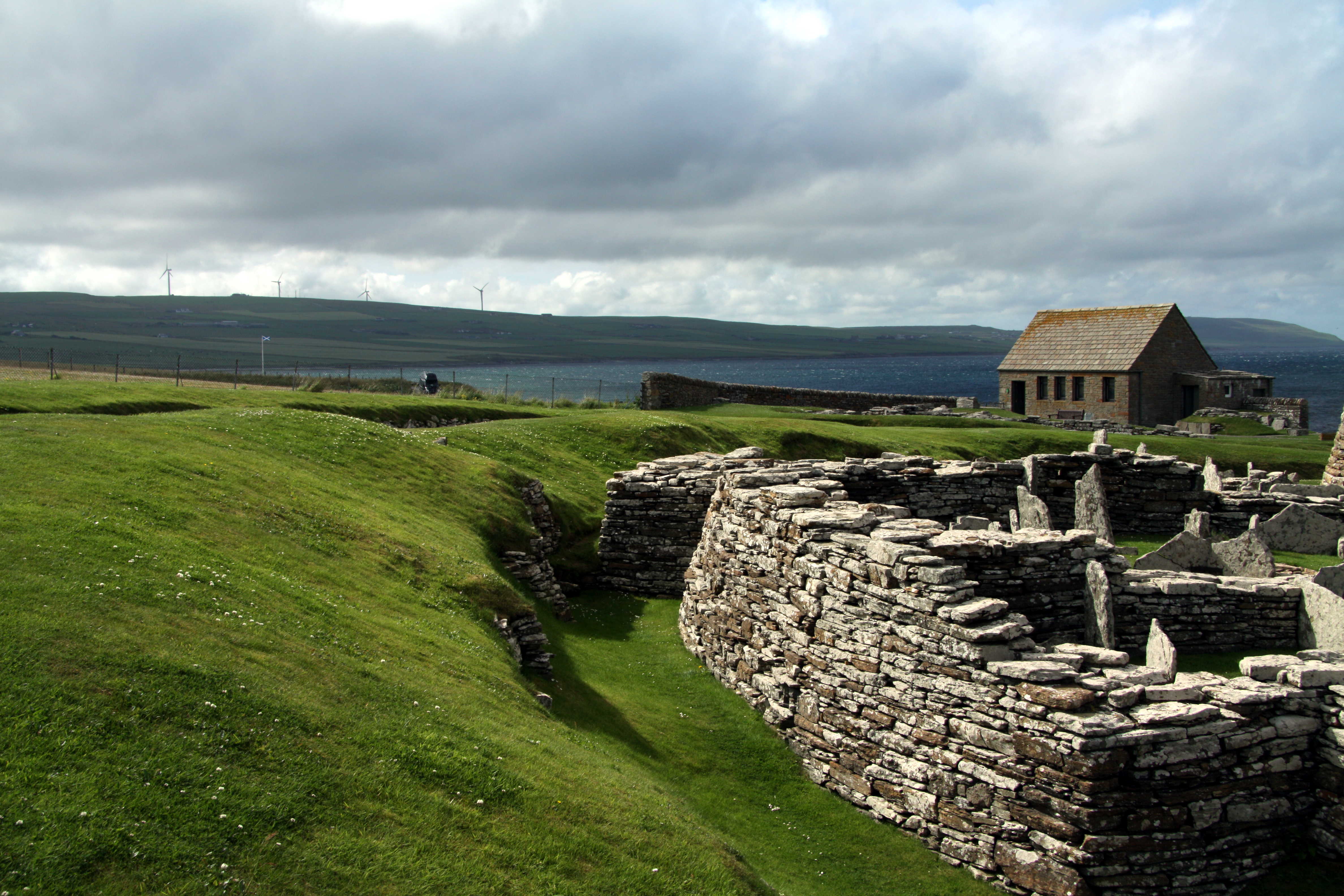
| Description | English: he Broch of Gurness is an Iron Age broch village on the northwest coast of Mainland Orkney in Scotland overlooking Eynhallow Sound. Čeština: Broch of Gurness, hlavní osrtov Orknejí, Skotsko
|
||||
| Date | |||||
| Source | Own work | ||||
| Author | Chmee2 |
.JPG¶ms=059.123669_N_-003.081392_E_globe:Earth_type:camera_region:GB_heading:315.00&language=en)
Licensing
I, the copyright holder of this work, hereby publish it under the following licenses:

|
Permission is granted to copy, distribute and/or modify this document under the terms of the GNU Free Documentation License, Version 1.2 or any later version published by the Free Software Foundation; with no Invariant Sections, no Front-Cover Texts, and no Back-Cover Texts. A copy of the license is included in the section entitled GNU Free Documentation License. |
This file is licensed under the Creative Commons Attribution-Share Alike 3.0 Unported, 2.5 Generic, 2.0 Generic and 1.0 Generic license.
- You are free:
- to share – to copy, distribute and transmit the work
- to remix – to adapt the work
- Under the following conditions:
- attribution – You must give appropriate credit, provide a link to the license, and indicate if changes were made. You may do so in any reasonable manner, but not in any way that suggests the licensor endorses you or your use.
- share alike – If you remix, transform, or build upon the material, you must distribute your contributions under the same or compatible license as the original.
You may select the license of your choice.
File history
Click on a date/time to view the file as it appeared at that time.
| Date/Time | Thumbnail | Dimensions | User | Comment | |
|---|---|---|---|---|---|
| current | 21:18, 24 January 2013 | | 4,752 × 3,168 (6.18 MB) | Slick-o-bot | Bot: convert to a non-interlaced jpeg (see bug #17645) |
| 18:34, 4 September 2012 |  | 4,752 × 3,168 (5.72 MB) | Chmee2 |
File usage
The following page uses this file:
.JPG)