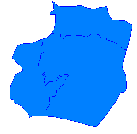
File:Ar-Raqqah blank districts.png
Ar-Raqqah_blank_districts.png (284 × 277 pixels, file size: 3 KB, MIME type: image/png)
File history
Click on a date/time to view the file as it appeared at that time.
| Date/Time | Thumbnail | Dimensions | User | Comment | |
|---|---|---|---|---|---|
| current | 12:01, 9 May 2007 |  | 284 × 277 (3 KB) | Anas Salloum | {{Information |Description=Blank map of Ar-Raqqah's districts. |Source=Edited from Image:Ar-Raqqah districts.png |Date=May 1, 2007 |Author=Anas |Permission=I grant permission for anyone to use t |
File usage
The following 21 pages use this file:
- Ain al-Arous
- Al-Akirshi
- Al-Jarniyah
- Al-Jarniyah Subdistrict
- Al-Karamah, Raqqa Governorate
- Al-Mansurah, Raqqa Governorate
- Al-Qahtaniyah, Raqqa Governorate
- Al-Sabkhah
- Al-Thawrah
- Al-Zaazu'
- Ayn Issa
- Districts of Syria
- Ma'adan
- Mahmudli
- Raqqa
- Raqqa Governorate
- Raqqa Subdistrict
- Suluk, Syria
- Tell Abyad
- Template:Raqqa Governorate
- Template:Raqqa Labelled Map
Global file usage
The following other wikis use this file:
- Usage on ar.wikipedia.org
- Usage on ckb.wikipedia.org
- Usage on fa.wikipedia.org
- Usage on hr.wikipedia.org
- Usage on nn.wikipedia.org
- Usage on ru.wikipedia.org
- Usage on tr.wikipedia.org
- Usage on uk.wikipedia.org
- Usage on ur.wikipedia.org
- Usage on vi.wikipedia.org
- Usage on zh.wikipedia.org


