
File:Achnahaird Bay.jpg
No higher resolution available.
Achnahaird_Bay.jpg (640 × 384 pixels, file size: 216 KB, MIME type: image/jpeg)
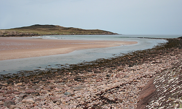
| Description | English: Achnahaird Bay, Wester Ross, looking across the bay where Allt Loch Raa enters the sea. The low hill on the other side of the bay is the imaginatively named Cnoc Mòr ('big lump') |
| Date | |
| Source | From geograph.org.uk |
| Author | Anne Burgess |
| Permission (Reusing this file) |
Creative Commons Attribution Share-alike license 2.0 |
| Attribution (required by the license) | Anne Burgess / Achnahaird Bay / |
| Camera location | | View this and other nearby images on: OpenStreetMap |
|---|

|
This image was taken from the Geograph project collection. See this photograph's page on the Geograph website for the photographer's contact details. The copyright on this image is owned by Anne Burgess and is licensed for reuse under the Creative Commons Attribution-ShareAlike 2.0 license. |
This file is licensed under the Creative Commons Attribution-Share Alike 2.0 Generic license.
Attribution: Anne Burgess
- You are free:
- to share – to copy, distribute and transmit the work
- to remix – to adapt the work
- Under the following conditions:
- attribution – You must give appropriate credit, provide a link to the license, and indicate if changes were made. You may do so in any reasonable manner, but not in any way that suggests the licensor endorses you or your use.
- share alike – If you remix, transform, or build upon the material, you must distribute your contributions under the same or compatible license as the original.
File history
Click on a date/time to view the file as it appeared at that time.
| Date/Time | Thumbnail | Dimensions | User | Comment | |
|---|---|---|---|---|---|
| current | 10:03, 22 September 2008 | | 640 × 384 (216 KB) | Angusmclellan | {{Information |Description={{en|Achnahaird Bay, Wester Ross, looking across the bay where Allt Loch Raa enters the sea. The low hill on the other side of the bay is the imaginatively named Cnoc Mòr ('big lump')}} |Source=From [http://www.geograph.org.uk/ |
File usage
The following 2 pages use this file:
Global file usage
The following other wikis use this file:
- Usage on ceb.wikipedia.org
- Usage on eu.wikipedia.org
- Usage on ga.wikipedia.org
- Usage on nl.wikipedia.org
- Usage on www.wikidata.org