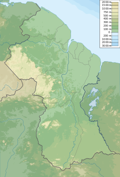
Akaiwang River
| Akaiwang River | |
|---|---|
| Location | |
| Country | Guyana |
| Physical characteristics | |
| Mouth | Wenamu River |
• coordinates | 6°39′9″N 59°32′3″W / 6.65250°N 59.53417°W[1] |
| Basin features | |
| Waterfalls | Akaiwang Falls |
The Akaiwang River is a tributary of the Wenamu River in the Cuyuni-Mazaruni region of Guyana.[1]
The river features the Akaiwang Falls. Located at 6' 40' W 59' 42'.[2] The falls are also known as the Wakupang or Akaiwong Cataracts.[3]
Akaiwang River is also a gold mining operation.[4] The surrounding forest area was licensed for balata bleeding.[5]
See also
References
- ^ a b "Akaiwong River, Cuyuni-Mazaruni Region, Guyana". Mindat.org. 4 June 2023. Retrieved 4 June 2023.
- ^ Names, United States Board on Geographic (1953). Decision List. The Board. p. 3.
- ^ Harrison, John Burchmore; Fowler, Frank; Anderson, Charles Wilgress (1908). The Geology of the Goldfields of British Guiana. Dulau & Company.
- ^ "Mineral Resources Map - mines, prospects, and more". mineralresourcemap.com. Retrieved 2021-01-07.
- ^ Guiana, British (1908). The Official Gazette of British Guiana.
Bibliography
- Rand McNally, The New International Atlas, 1993.

