
Datei:Trinidad and Tobago rel location map.svg

Originaldatei (SVG-Datei, Basisgröße: 780 × 756 Pixel, Dateigröße: 143 KB)
![]()
Diese Datei und die Informationen unter dem roten Trennstrich werden aus dem zentralen Medienarchiv Wikimedia Commons eingebunden.
![]()
Beschreibung
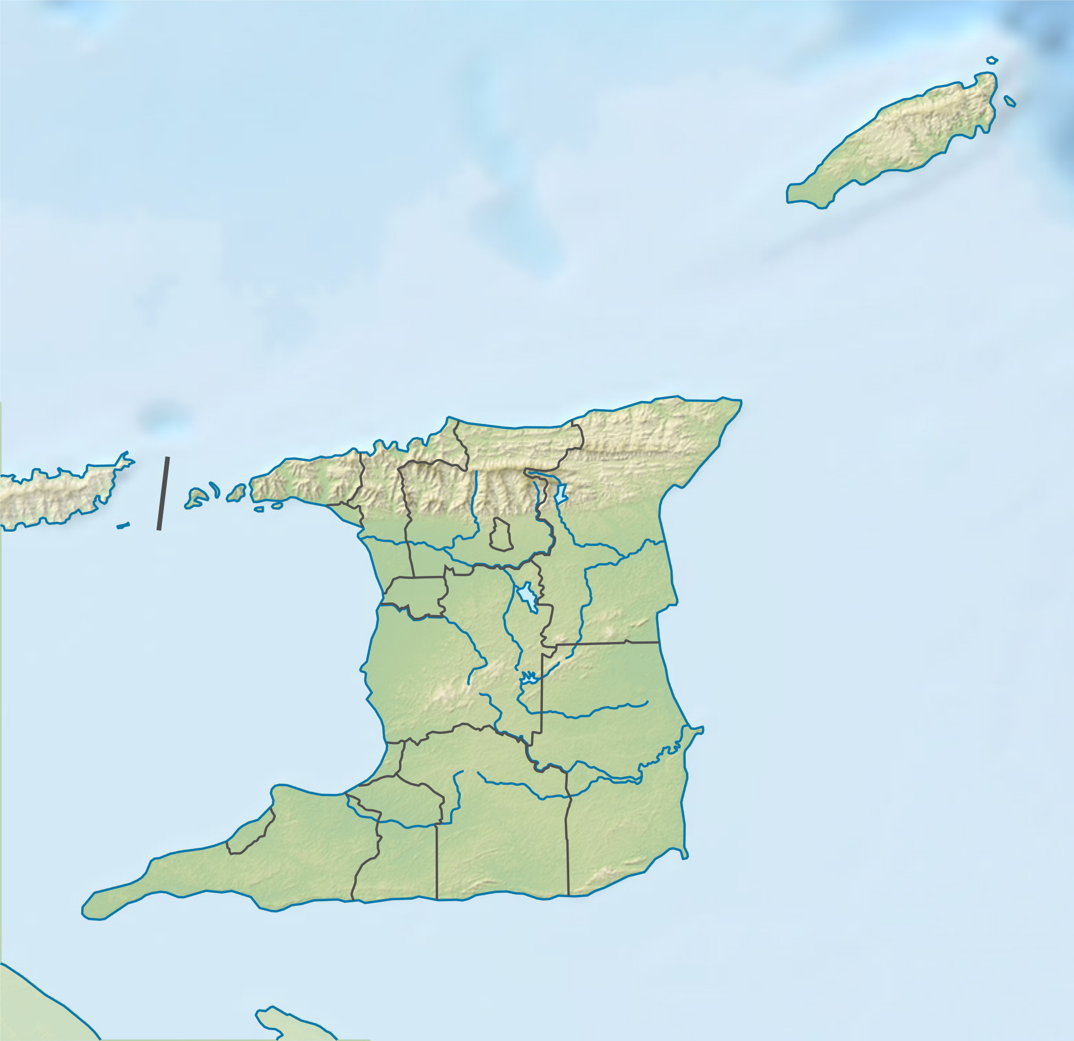
| Beschreibung | Deutsch: Positionskarte von Trinidad und Tobago English: Location map of Trinidad and Tobago
|
||||||||||||
| Datum | |||||||||||||
| Quelle |
Eigenes Werk mittels:
|
||||||||||||
| Urheber | NordNordWest | ||||||||||||
| Andere Versionen |
|
||||||||||||


|
Diese Karte wurde in der Kartenwerkstatt erstellt oder verbessert. Auch du kannst dort Karten vorschlagen, die zu erstellen, verändern oder übersetzen sind. |
Lizenz
Weiternutzung dieser Karte mit:

Rechtsgültig ist alleine der Lizenzvertrag in seinem Wortlaut. Für eine kostenlose Weiternutzung empfehle ich besonders die Beachtung folgender Lizenzbedingungen:
1. Fügen Sie meinen Namen wie oben angegeben bei: NordNordWest,
2. eine Kopie dieser Lizenz oder deren vollständige Internetadresse bei: https://creativecommons.org/licenses/by-sa/3.0/de/legalcode
3. und im Falle einer Abwandlung einen Hinweis darauf, dass es sich um eine Abwandlung handelt.
Im Falle eines Verstoßes gegen die Lizenzbedingungen erlöschen die eingeräumten Nutzungsrechte automatisch.
Wenn Sie Fragen haben oder andere Nutzungsbedingungen wünschen, kontaktieren Sie mich bitte über nnwest oder hinterlassen mir eine Nachricht auf meiner Diskussionsseite (unangemeldet möglich). Ich freue mich über Mitteilungen, wo meine Karten verwendet werden, oder Belegexemplare. ![]() t-online.de
t-online.de
- Dieses Werk darf von dir
- verbreitet werden – vervielfältigt, verbreitet und öffentlich zugänglich gemacht werden
- neu zusammengestellt werden – abgewandelt und bearbeitet werden
- Zu den folgenden Bedingungen:
- Namensnennung – Du musst angemessene Urheber- und Rechteangaben machen, einen Link zur Lizenz beifügen und angeben, ob Änderungen vorgenommen wurden. Diese Angaben dürfen in jeder angemessenen Art und Weise gemacht werden, allerdings nicht so, dass der Eindruck entsteht, der Lizenzgeber unterstütze gerade dich oder deine Nutzung besonders.
- Weitergabe unter gleichen Bedingungen – Wenn du das Material wiedermischst, transformierst oder darauf aufbaust, musst du deine Beiträge unter der gleichen oder einer kompatiblen Lizenz wie das Original verbreiten.

Dateiversionen
Klicke auf einen Zeitpunkt, um diese Version zu laden.
| Version vom | Vorschaubild | Maße | Benutzer | Kommentar | |
|---|---|---|---|---|---|
| aktuell | 19:45, 10. Jul. 2016 | | 780 × 756 (143 KB) | NordNordWest | c |
| 19:42, 10. Jul. 2016 |  | 780 × 756 (141 KB) | NordNordWest | == {{int:filedesc}} == {{Information |Description= {{de|1=Positionskarte von Trinidad und Tobago}} {{en|1=Location map of Trinidad and Tobago}} {{Location map series N |stretching=– |top=11.45 |bottom=9.85 |left=-62.05 |right=-60.4 }} |Source={{Own u... |
Dateiverwendung
Die folgenden 28 Seiten verwenden diese Datei:
- Bocas Islands
- Carrera Island
- Cerro del Aripo
- Chacachacare
- Cronstadt Island
- El Tucuche
- Fort George (Trinidad)
- Fort San Andres
- Gaspar Grande
- La Brea (Trinidad und Tobago)
- Laventille
- Little Gasparee
- Monos (Insel)
- Moruga
- Morvant
- Point Lisas
- Rio Claro (Trinidad und Tobago)
- San Diego Islands
- Santa Cruz (Trinidad und Tobago)
- Scarborough (Trinidad und Tobago)
- St. Joseph (Trinidad und Tobago)
- Tamana (Berg)
- Tobago
- Trinidad und Tobago
- Benutzer:Grueslayer/Workroom
- Benutzer:TaxonBot/Spielwiese
- Wikipedia:Kartenwerkstatt/Positionskarten/Nordamerika
- Vorlage:Positionskarte Trinidad und Tobago
Globale Dateiverwendung
Die nachfolgenden anderen Wikis verwenden diese Datei:
- Verwendung auf als.wikipedia.org
- Verwendung auf ast.wikipedia.org
- Verwendung auf az.wikipedia.org
- Verwendung auf bg.wikipedia.org
- Verwendung auf bn.wikipedia.org
- Verwendung auf da.wikipedia.org
- Verwendung auf en.wikipedia.org
- Columbus Channel
- El Cerro del Aripo
- Caroni River (Trinidad and Tobago)
- Bocas del Dragón
- Delaware Bank
- El Tucuche
- Hollis Reservoir
- Caroni–Arena Dam
- Hillsborough Reservoir
- Module:Location map/data/Trinidad and Tobago/doc
- Older Parian Group
- Bacolet Formation
- Tobago Volcanic Group
- Manzanilla Formation
- Matura Formation
- Morne l'Enfer Formation
- Springvale Formation
- Talparo Formation
- Tamana Formation
- Brasso Formation
- Cipero Marl
- Nariva Formation
- Soldado Formation
- Boca de Serpiente Formation
- Lizard Springs Formation
- Morne Diablo Limestone
- Oropouche Formation
- List of fossiliferous stratigraphic units in the Caribbean
- Tobago Plantations Seniors Classic
- Caparo River (Trinidad and Tobago)
- Module:Location map/data/Trinidad and Tobago
- User:Ty654/List of earthquakes from 1950-1954 exceeding magnitude 6+
- User:Ty654/List of earthquakes from 1985-1989 exceeding magnitude 6+
- User:Ty654/List of earthquakes from 1990-1994 exceeding magnitude 6+
- User:Ty654/List of earthquakes from 1995-1999 exceeding magnitude 6+
- User:Ty654/List of earthquakes from 2005-2009 exceeding magnitude 6+
- Heights of Aripo Village
- Iere Village Mosque
- Jinnah Memorial Mosque
- Verwendung auf eo.wikipedia.org
Weitere globale Verwendungen dieser Datei anschauen.