
Datei:Mexico Nayarit location map.svg

Größe der PNG-Vorschau dieser SVG-Datei: 497 × 600 Pixel. Weitere aus SVG automatisch erzeugte PNG-Grafiken in verschiedenen Auflösungen: 199 × 240 Pixel | 398 × 480 Pixel | 636 × 768 Pixel | 849 × 1.024 Pixel | 1.697 × 2.048 Pixel | 1.553 × 1.874 Pixel
Originaldatei (SVG-Datei, Basisgröße: 1.553 × 1.874 Pixel, Dateigröße: 194 KB)
![]()
Diese Datei und die Informationen unter dem roten Trennstrich werden aus dem zentralen Medienarchiv Wikimedia Commons eingebunden.
![]()
Beschreibung
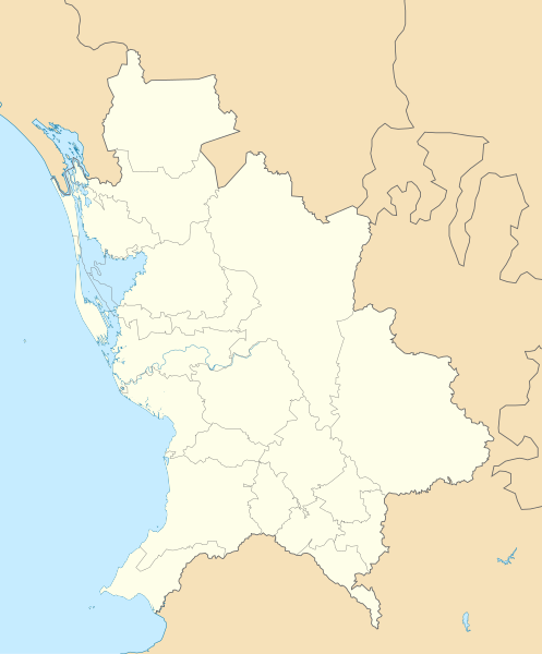
| Beschreibung | English: Location Map of Nayarit
Equirectangular projection, Geographic limits of the map:
|
| Datum | |
| Quelle | Eigenes Werk |
| Urheber | Addicted04 |
Lizenz
| Ich, der Urheberrechtsinhaber dieses Werkes, veröffentliche es als gemeinfrei. Dies gilt weltweit. In manchen Staaten könnte dies rechtlich nicht möglich sein. Sofern dies der Fall ist: Ich gewähre jedem das bedingungslose Recht, dieses Werk für jedweden Zweck zu nutzen, es sei denn, Bedingungen sind gesetzlich erforderlich. |
Dateiversionen
Klicke auf einen Zeitpunkt, um diese Version zu laden.
| Version vom | Vorschaubild | Maße | Benutzer | Kommentar | |
|---|---|---|---|---|---|
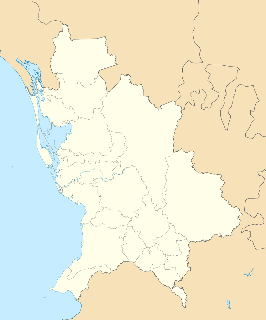
| aktuell | 20:22, 7. Aug. 2011 | | 1.553 × 1.874 (194 KB) | Battroid | == Summary == {{Information |Description={{en|1=Location Map of Nayarit Equirectangular projection, Geographic limits of the map: * N: 23.30° N * S: 20.50° N * W: 106.00° W * E: 103.50° W}} |Source={{own}} |Author=[[User:Addicted04|Add |
| 02:07, 6. Jan. 2011 |  | 1.553 × 1.874 (193 KB) | Addicted04 | {{Information |Description={{en|1=Location Map of Nayarit Equirectangular projection, Geographic limits of the map: * N: 23.30° N * S: 20.50° N * W: 106.00° W * E: 103.50° W}} |Source={{own}} |Author=Addicted04 |Dat |
Dateiverwendung
Die folgenden 14 Seiten verwenden diese Datei:
Globale Dateiverwendung
Die nachfolgenden anderen Wikis verwenden diese Datei:
- Verwendung auf ar.wikipedia.org
- Verwendung auf ba.wikipedia.org
- Verwendung auf bg.wikipedia.org
- Verwendung auf ceb.wikipedia.org
- Verwendung auf ce.wikipedia.org
- Verwendung auf en.wikipedia.org
- Verwendung auf eo.wikipedia.org
- Verwendung auf es.wikipedia.org
- Tepic
- San Blas (Nayarit)
- Compostela (Nayarit)
- Mexcaltitán
- El Nuevo Mexcaltitán
- Quiviquinta
- San Andrés Milpillas
- El Zonteco
- Palmar de Cuautla
- San Miguel Número Dos
- Aztlán de las Garzas
- El Mezcal
- Santiago Ixcuintla
- Pozo de Ibarra
- Villa Juárez (Nayarit)
- La Presa (Nayarit)
- El Contadero
- Estación Yago
- El Tesorero
- Villa Hidalgo (Nayarit)
- Mesa de los Ricos
- Aeropuerto Internacional Amado Nervo
- La Yesca
- Huajicori
- Ahuacatlán (Nayarit)
- Anexo:Patrimonio de la Humanidad en México
- San Juan de Abajo
- Jalcocotán
- Sangangüey
- Sayulita
- Chacala
- Santa María de Picachos
Weitere globale Verwendungen dieser Datei anschauen.